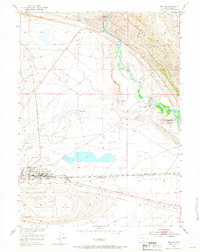
1953 Map of Sinclair
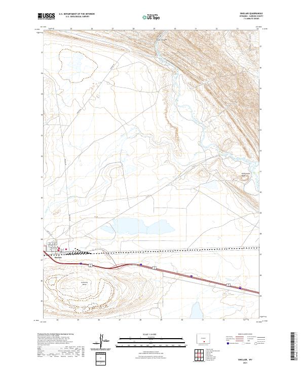
USGS Topo · Published 1955About this map
The massive Refinery at Sinclair anchors this mid-century look at Carbon County, where industrial infrastructure meets the high desert landscape. This map captures the town in a period of significant petroleum-based growth, showing the complex web of Oil Sumps, a Filtration Plant, and a Sewage Disposal Plant supporting the local economy. The Union Pacific railroad and the Lincoln Highway provide the primary east-west transportation corridor through the region, running parallel to the southern edge of the Grenville Dome. To the north, the North Platte River winds through the topography near the Dugway, while the Sinclair Airfield and a CAA Relay Station reflect the era's evolving aviation and communication networks. Rural life is evidenced by the Duncan Ranch and the Parco Ditch irrigation system, illustrating the persistence of ranching alongside the dominant oil industry.
Find a feature on this map
22 named features on this map. Tap any name to fly to it.
Don’t see what you’re looking for? This feature index may not catch every label — zoom into the map to look around manually.
Map Details
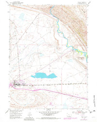
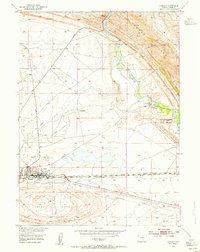
Editions of this 1953 Sinclair Map
3 editions found