
1953 Map of Rawlins NW
USGS Topo · Published 1955About this map
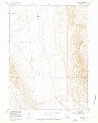
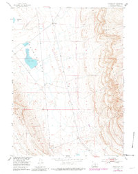
The high-desert terrain of Carbon County is defined by the sharp rise of the Haystack Mountains, which dominate the eastern edge of this 1953 survey. The central plains are marked by industrial infrastructure and transient water bodies, including Separation Lake in the northwest and the arid bed of Dry Lake. The presence of Meadow Station 4 (Abandoned) along a prominent north-south route suggests a former operational node in this expansive landscape.
Find a feature on this map
6 named features on this map. Tap any name to fly to it.
Don’t see what you’re looking for? This feature index may not catch every label — zoom into the map to look around manually.
Map Details
Editions of this 1953 Rawlins NW Map
3 editions found
Other maps of this area

1953 · Wild Horse Mountain
USGS Topo · 1:24,000

1953 · Sinclair
USGS Topo · 1:24,000

1953 · Riddle Cut
USGS Topo · 1:24,000

1953 · Rawlins
USGS Topo · 1:24,000

1953 · Lone Haystack Mountain
USGS Topo · 1:24,000

1954 · Rawlins
USGS Topo · 1:250,000

1955 · Casper
USGS Topo · 1:250,000

1956 · Rawlins Peak
USGS Topo · 1:62,500

1958 · Rawlins
USGS Topo · 1:250,000

1958 · Casper
USGS Topo · 1:250,000