
1953 Map of Wild Horse Mountain
USGS Topo · Published 1955About this map
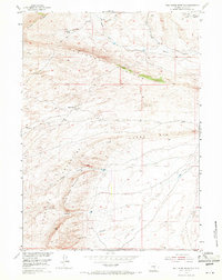
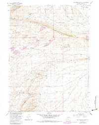
Wild Horse Mountain and the towering Haystack Mountains dominate this high-altitude Carbon County landscape, where deep drainages like Coal Canyon and Corral Canyon cut through the rugged uplift. The 1953 field check captures a working ranching environment centered on Tapers Ranch, situated just south of shifting Sand Dunes. This era of the Missouri River Basin development program reveals a terrain defined by its water sources, with names like Cheyenne Spring, Coal Creek, and Rankin Creek tracing the movement of water across the basins and ridges. Transport across the elevation is sparse, marked primarily by a Jeep Trail winding through the north. The presence of the VABM Haystack 7482 survey marker at the summit of the range provides a precise geodetic reference point for the high peaks that overlook the Coal Creek Rim.
Find a feature on this map
19 named features on this map. Tap any name to fly to it.
Don’t see what you’re looking for? This feature index may not catch every label — zoom into the map to look around manually.
Map Details
Editions of this 1953 Wild Horse Mountain Map
3 editions found
Other maps of this area

1893 · Fort Steele
USGS Topo · 1:125,000

1914 · Walcott
USGS Topo · 1:62,500

1953 · Bradley Peak
USGS Topo · 1:24,000

1953 · Seminoe Dam
USGS Topo · 1:24,000

1953 · Seminoe Dam SW
USGS Topo · 1:24,000

1953 · Ferris
USGS Topo · 1:24,000

1953 · Riddle Cut
USGS Topo · 1:24,000

1953 · Lone Haystack Mountain
USGS Topo · 1:24,000

1953 · Rawlins NW
USGS Topo · 1:24,000

1954 · Rawlins
USGS Topo · 1:250,000