
1953 Map of Ferris
USGS Topo · Published 1955About this map
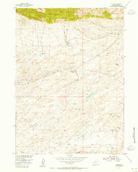
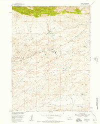
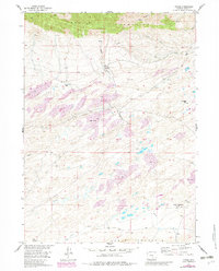
The Ferris Mountains dominate the northern landscape of this Carbon County quadrangle, where the high ridges give way to an expansive field of sand dunes and sagebrush. In the early 1950s, the area's economy centered on energy extraction and cattle ranching, marked by the General Petroleum Oil Field and various isolated oil wells. The small settlement of Ferris serves as a central point, connected by a pipe line and unimproved roads to outlying homesteads. The map documents the shifting nature of high-desert life, noting several sites like Marvin Place as abandoned, while others like Larsen Place and the Mc Cargar Place represent the persistent ranching footprint in this environment. Water is a critical and scarce resource here, evidenced by the numerous named springs and seasonal drainages like Stone Creek and Riddle Creek that flow toward Rinshaw Lake.
Find a feature on this map
21 named features on this map. Tap any name to fly to it.
Don’t see what you’re looking for? This feature index may not catch every label — zoom into the map to look around manually.
Map Details
Editions of this 1953 Ferris Map
4 editions found
Other maps of this area

1953 · Bradley Peak
USGS Topo · 1:24,000

1953 · Wild Horse Mountain
USGS Topo · 1:24,000

1953 · Buzzard Ranch
USGS Topo · 1:24,000

1953 · Spanish Mine
USGS Topo · 1:24,000

1953 · Riddle Cut
USGS Topo · 1:24,000

1955 · Casper
USGS Topo · 1:250,000

1958 · Casper
USGS Topo · 1:250,000

1960 · Boggy Meadows
USGS Topo · 1:24,000

1961 · Lamont NE
USGS Topo · 1:24,000

1962 · Casper
USGS Topo · 1:250,000