
1953 Map of Spanish Mine
USGS Topo · Published 1955About this map
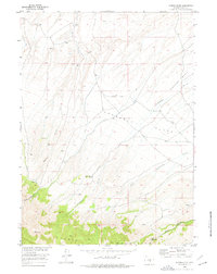
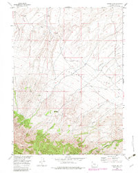
Ferris Mountains rise sharply in the southern portion of this mid-century survey, a stark contrast to the sprawling Arkansas Flat that dominates the central terrain. This landscape in Carbon County reflects a remote ranching and mining environment, where water sources like Rush Creek and numerous springs were essential for survival. A single named residence, Jimmys Place, sits at the edge of the mountains, while the namesake Spanish Mine (Inactive) and drainage features like Miners Canyon and Pole Canyon point to the area's prospecting history. The map captures an era of isolated high-desert activity where small-scale irrigation is hinted at by ditches connecting to Arkansas Creek and East Creek.
Find a feature on this map
15 named features on this map. Tap any name to fly to it.
Don’t see what you’re looking for? This feature index may not catch every label — zoom into the map to look around manually.
Map Details
Editions of this 1953 Spanish Mine Map
3 editions found
Other maps of this area

1951 · Savage Peak
USGS Topo · 1:24,000

1951 · Independence Rock
USGS Topo · 1:24,000

1951 · Fort Ridge
USGS Topo · 1:24,000

1953 · Bradley Peak
USGS Topo · 1:24,000

1953 · Ferris
USGS Topo · 1:24,000

1953 · Buzzard Ranch
USGS Topo · 1:24,000

1955 · Casper
USGS Topo · 1:250,000

1958 · Casper
USGS Topo · 1:250,000

1961 · Lamont NE
USGS Topo · 1:24,000

1962 · Casper
USGS Topo · 1:250,000