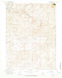
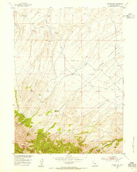
1961 Map of Lamont NE
USGS Topo · Published 1965About this map
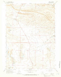
Mahoney Oil Field and the surrounding high-desert topography of Carbon County dominate this 1961 field-checked survey. The landscape is defined by the geological structure of Mahoney Dome, a significant landmark for the petroleum industry of the era. Evidence of resource extraction is clear through the network of pipelines and access points like Ferris Road and numerous unnamed jeep trails that crisscross the arid terrain.
Find a feature on this map
15 named features on this map. Tap any name to fly to it.
Don’t see what you’re looking for? This feature index may not catch every label — zoom into the map to look around manually.
Map Details
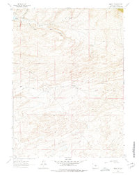
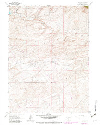
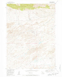
Editions of this 1961 Lamont NE Map
3 editions found
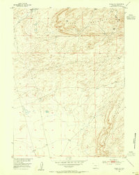
Other maps of this area
1953 · Ferris
USGS Topo · 1:24,000
1953 · Spanish Mine
USGS Topo · 1:24,000
1953 · Riddle Cut
USGS Topo · 1:24,000

1955 · Casper
USGS Topo · 1:250,000

1958 · Casper
USGS Topo · 1:250,000
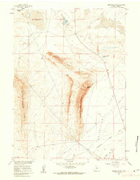
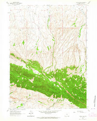
1960 · Separation Rim
USGS Topo · 1:24,000
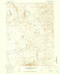
1960 · Boggy Meadows
USGS Topo · 1:24,000
1961 · Lamont
USGS Topo · 1:24,000
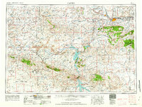
1962 · Casper
USGS Topo · 1:250,000
1962 · Youngs Pass
USGS Topo · 1:24,000