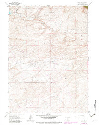
1961 Map of Lamont NE
USGS Topo · Published 1982About this map
Mahoney Dome Oil Field and its surrounding infrastructure anchor this high-plains landscape, where energy extraction meets a complex terrain of shifting Sand Dunes. The map reveals the industrial footprint of the mid-20th century, with a network of pipelines and jeep trails crisscrossing the arid flats. Water remains the critical limiting factor for both industry and ranching, evidenced by the scattered locations of Little Sand Spring, Marsh Reservoir, and the Water Tank near the high point of Mahoney Dome.
Find a feature on this map
18 named features on this map. Tap any name to fly to it.
Don’t see what you’re looking for? This feature index may not catch every label — zoom into the map to look around manually.
Map Details
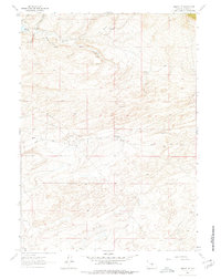
Editions of this 1961 Lamont NE Map
3 editions found
Other maps of this area

1953 · Ferris
USGS Topo · 1:24,000

1953 · Spanish Mine
USGS Topo · 1:24,000

1953 · Riddle Cut
USGS Topo · 1:24,000

1955 · Casper
USGS Topo · 1:250,000

1958 · Casper
USGS Topo · 1:250,000

1960 · Separation Rim
USGS Topo · 1:24,000

1960 · Boggy Meadows
USGS Topo · 1:24,000

1961 · Lamont NE
USGS Topo · 1:24,000

1961 · Lamont
USGS Topo · 1:24,000

1962 · Casper
USGS Topo · 1:250,000