
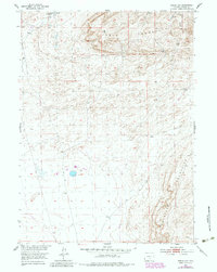
1953 Map of Riddle Cut
USGS Topo · Published 1955About this map
Stone Ranch anchors the northern drainage of Stone Creek in this mid-century survey of the Wyoming landscape. The terrain is defined by the massive plateau of Table Mountain and the southern rise of the Haystack Mountains, where the elevation shifts between dramatic rocky overlooks and shifting Sand Dunes. This specific mapping was conducted as part of a Department of the Interior program focused on the Missouri River Basin, tracing the intersection of livestock ranching and industrial infrastructure.
Find a feature on this map
10 named features on this map. Tap any name to fly to it.
Don’t see what you’re looking for? This feature index may not catch every label — zoom into the map to look around manually.
Map Details
Editions of this 1953 Riddle Cut Map
2 editions found
Other maps of this area

1953 · Bradley Peak
USGS Topo · 1:24,000

1953 · Wild Horse Mountain
USGS Topo · 1:24,000

1953 · Ferris
USGS Topo · 1:24,000

1953 · Lone Haystack Mountain
USGS Topo · 1:24,000

1953 · Rawlins NW
USGS Topo · 1:24,000

1954 · Rawlins
USGS Topo · 1:250,000

1955 · Casper
USGS Topo · 1:250,000

1956 · Rawlins Peak
USGS Topo · 1:62,500

1958 · Rawlins
USGS Topo · 1:250,000

1958 · Casper
USGS Topo · 1:250,000