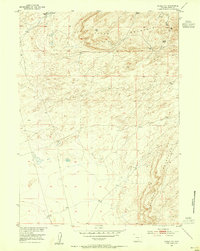
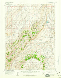
1956 Map of Rawlins Peak
USGS Topo · Published 1959About this map
Mahoney Ranch Headquarters and several other family holdings like the Rendle Ranch Hdqrs anchor the high plains north of the Continental Divide in this mid-century survey. The landscape is defined by the vast Separation Flats and the Shamrock Hills, where water sources like Point of Rocks Spr and Brown Canyon Springs were vital for livestock and travelers alike.
Find a feature on this map
55 named features on this map. Tap any name to fly to it.
Don’t see what you’re looking for? This feature index may not catch every label — zoom into the map to look around manually.
Map Details
Editions of this 1956 Rawlins Peak Map
This is the sole edition of this map. No revisions or reprints were ever made.
Other maps of this area
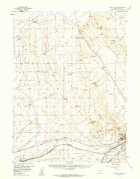
1953 · Riddle Cut
USGS Topo · 1:24,000
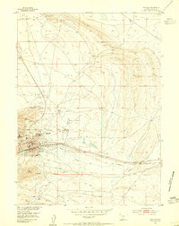
1953 · Rawlins
USGS Topo · 1:24,000
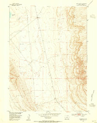
1953 · Rawlins NW
USGS Topo · 1:24,000

1954 · Rawlins
USGS Topo · 1:250,000

1955 · Casper
USGS Topo · 1:250,000
1956 · Bridger Pass
USGS Topo · 1:62,500
1956 · Bolten Ranch
USGS Topo · 1:62,500

1958 · Rawlins
USGS Topo · 1:250,000

1958 · Casper
USGS Topo · 1:250,000
1960 · Separation Rim
USGS Topo · 1:24,000