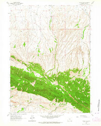
1962 Map of Youngs Pass
USGS Topo · Published 1964About this map
The Ferris Mountains dominate this 1962 landscape, forming a high, forested divide between the northern and southern watersheds of Carbon County. At the heart of this ridge lies Youngs Pass, a natural crossing point that likely served as a primary route for movement through these highlands before modern road networks evolved. To the north, the terrain is defined by a dense network of drainages including Little Cherry Creek, Cherry Creek, and Pete Creek, which flow through deep incisions such as Pete Creek Canyon.
Find a feature on this map
16 named features on this map. Tap any name to fly to it.
Don’t see what you’re looking for? This feature index may not catch every label — zoom into the map to look around manually.
Map Details
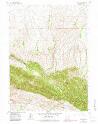
Editions of this 1962 Youngs Pass Map
2 editions found
Other maps of this area

1951 · Savage Peak
USGS Topo · 1:24,000

1951 · Bucklin Reservoirs
USGS Topo · 1:24,000

1951 · Independence Rock
USGS Topo · 1:24,000

1953 · Ferris
USGS Topo · 1:24,000

1953 · Spanish Mine
USGS Topo · 1:24,000

1955 · Casper
USGS Topo · 1:250,000

1958 · Casper
USGS Topo · 1:250,000

1961 · Lamont NE
USGS Topo · 1:24,000

1961 · Lamont
USGS Topo · 1:24,000

1962 · Casper
USGS Topo · 1:250,000