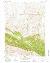
1962 Map of Youngs Pass
USGS Topo · Published 1982About this map
The Ferris Mountains dominate this central Wyoming landscape, creating a formidable topographic barrier that forced early movement through specific corridors like Youngs Pass. This 1962 survey, updated with 1980s data, reveals the isolated ranching and mining character of the region. To the north, the Bar 11 Ranch sits near the headwaters of Pete Creek, while the southern slopes are drained by a series of seasonal flows including Indian Creek and Currant Creek.
Find a feature on this map
19 named features on this map. Tap any name to fly to it.
Don’t see what you’re looking for? This feature index may not catch every label — zoom into the map to look around manually.
Map Details
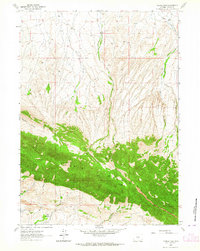
Editions of this 1962 Youngs Pass Map
2 editions found
Other maps of this area

1951 · Savage Peak
USGS Topo · 1:24,000

1951 · Bucklin Reservoirs
USGS Topo · 1:24,000

1951 · Independence Rock
USGS Topo · 1:24,000

1953 · Ferris
USGS Topo · 1:24,000

1953 · Spanish Mine
USGS Topo · 1:24,000

1955 · Casper
USGS Topo · 1:250,000

1958 · Casper
USGS Topo · 1:250,000

1961 · Lamont NE
USGS Topo · 1:24,000

1961 · Lamont
USGS Topo · 1:24,000

1962 · Casper
USGS Topo · 1:250,000