
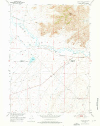
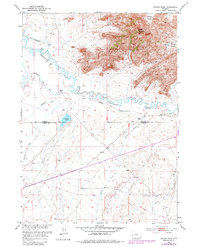
1951 Map of Savage Peak
USGS Topo · Published 1952About this map
Sweetwater Rocks dominate the northeastern landscape of this 1951 survey, a high-relief terrain that gives way to the winding course of the Sweetwater River. This area serves as a critical corridor for westward expansion history, marked by the Oregon Trail (Approximate Location) crossing the central plains. The map reveals the intricate water management of the era, including the Jackson Lake reservoir and the Turkey Track Ditch (Abandoned), which once diverted water for cattle or irrigation. Small tributaries like Muddy Creek, Whiskey Creek, and Cherry Creek feed into the river system. A lonely Historical Marker stands near the boundary of Natrona and Carbon Counties, signaling the significance of this high-desert passage to early pioneers and surveyors working for the Department of the Interior's Missouri River Basin development program.
Find a feature on this map
14 named features on this map. Tap any name to fly to it.
Don’t see what you’re looking for? This feature index may not catch every label — zoom into the map to look around manually.
Map Details
Editions of this 1951 Savage Peak Map
3 editions found
Other maps of this area

1951 · Bucklin Reservoirs
USGS Topo · 1:24,000

1951 · Independence Rock
USGS Topo · 1:24,000

1951 · Lone Mountain
USGS Topo · 1:24,000

1953 · Spanish Mine
USGS Topo · 1:24,000

1955 · Casper
USGS Topo · 1:250,000

1958 · Casper
USGS Topo · 1:250,000

1959 · Miller Spring
USGS Topo · 1:24,000
1959 · Beulah Belle Lake
USGS Topo · 1:24,000

1962 · Casper
USGS Topo · 1:250,000
1962 · Youngs Pass
USGS Topo · 1:24,000