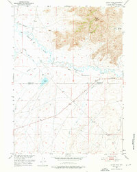
1951 Map of Savage Peak
USGS Topo · Published 1976About this map
The Oregon Trail cuts through this high desert landscape, following the southern banks of the Sweetwater River as it winds through the central portion of the territory. The map documents the boundary where Natrona and Carbon Counties meet, revealing a terrain defined by hydraulic infrastructure and natural drainage. Of significant interest to historians is the historical marker located near the river, signifying the importance of this passage for westward migration.
Find a feature on this map
12 named features on this map. Tap any name to fly to it.
Don’t see what you’re looking for? This feature index may not catch every label — zoom into the map to look around manually.
Map Details
Editions of this 1951 Savage Peak Map
3 editions found
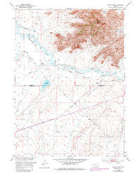
Other maps of this area

1951 · Savage Peak
USGS Topo · 1:24,000

1951 · Bucklin Reservoirs
USGS Topo · 1:24,000

1951 · Independence Rock
USGS Topo · 1:24,000

1951 · Lone Mountain
USGS Topo · 1:24,000

1953 · Spanish Mine
USGS Topo · 1:24,000

1955 · Casper
USGS Topo · 1:250,000

1958 · Casper
USGS Topo · 1:250,000

1959 · Miller Spring
USGS Topo · 1:24,000
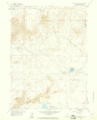
1959 · Beulah Belle Lake
USGS Topo · 1:24,000

1962 · Casper
USGS Topo · 1:250,000