
1953 Map of Buzzard Ranch
USGS Topo · Published 1955About this map
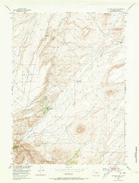
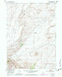
Buzzard Ranch serves as the focal point of this high-altitude Wyoming landscape, where the seasonal drainage of Arkansas Creek and Sand Creek defines the local economy and movement. Surveyed for the Missouri River Basin development program, the map documents a network of ranching outposts including the Burtch Ranch and the Buzzard Ranch (Shearing Pens), indicating the region's reliance on sheep or livestock. To the south, the terrain rises sharply into the Ferris Mountains and Bear Mountain, creating the dramatic Sand Creek Canyon. A series of Ditch segments and Spring labels suggest the critical importance of water management on the Arkansas Flats. The presence of Roberts Ranch (Aband) provides a specific genealogical marker of late-19th or early-20th-century settlement shifts in Carbon County.
Find a feature on this map
24 named features on this map. Tap any name to fly to it.
Don’t see what you’re looking for? This feature index may not catch every label — zoom into the map to look around manually.
Map Details
Editions of this 1953 Buzzard Ranch Map
3 editions found
Other maps of this area

1951 · Pathfinder Reservoir NW
USGS Topo · 1:24,000

1951 · Independence Rock
USGS Topo · 1:24,000

1951 · Fort Ridge
USGS Topo · 1:24,000

1953 · Bradley Peak
USGS Topo · 1:24,000

1953 · Seminoe Dam
USGS Topo · 1:24,000

1953 · Ferris
USGS Topo · 1:24,000

1953 · Pathfinder Reservoir SW
USGS Topo · 1:24,000

1953 · Spanish Mine
USGS Topo · 1:24,000

1955 · Casper
USGS Topo · 1:250,000

1958 · Casper
USGS Topo · 1:250,000