
1953 Map of Seminoe Dam
USGS Topo · Published 1955About this map
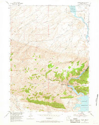
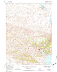
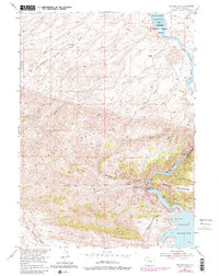
The Seminoe Mountains dominate this central Wyoming landscape, where the North Platte River is transformed by a sequence of massive mid-century water management projects. At the heart of the map, Seminoe Dam and Kortes Dam control the river's flow, creating the expansive Seminoe Reservoir and the more confined Kortes Reservoir within Black Canyon. These engineering feats were mapped in the early 1950s as part of the Department of the Interior's Missouri River Basin development program.
Find a feature on this map
31 named features on this map. Tap any name to fly to it.
Don’t see what you’re looking for? This feature index may not catch every label — zoom into the map to look around manually.
Map Details
Editions of this 1953 Seminoe Dam Map
4 editions found
Other maps of this area

1953 · Leo
USGS Topo · 1:24,000

1953 · Bradley Peak
USGS Topo · 1:24,000

1953 · Seminoe Dam NE
USGS Topo · 1:24,000

1953 · Wild Horse Mountain
USGS Topo · 1:24,000

1953 · Seminoe Dam SW
USGS Topo · 1:24,000

1953 · Pathfinder Reservoir SW
USGS Topo · 1:24,000

1953 · Buzzard Ranch
USGS Topo · 1:24,000

1953 · Seminoe Dam SE
USGS Topo · 1:24,000

1955 · Casper
USGS Topo · 1:250,000

1958 · Casper
USGS Topo · 1:250,000