
1953 Map of Pathfinder Reservoir SW
USGS Topo · Published 1955About this map
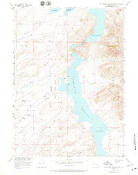
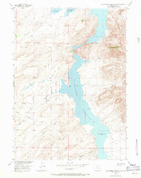
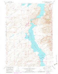
Pathfinder Reservoir dominates this high-altitude landscape of Carbon County, Wyoming, as it appeared in the early 1950s. The reservoir's irregular shoreline is bounded by the Pathfinder National Wildlife Refuge, which protects the surrounding habitat. To the east, the steep rises of the Pedro Mountains overlook the water, while the western side is characterized by numerous seasonal drainages including Sand Creek, Bear Creek, and Junk Creek. Evidence of local ranching and land use is visible at Park Ranch and via a primitive Jeep Trail that navigates the terrain between Wood Creek and Sunday Morning Creek. This mapping was completed as part of the Department of the Interior's post-war program for the development of the Missouri River Basin, detailing the intersection of early conservation efforts and water management in the high desert.
Find a feature on this map
12 named features on this map. Tap any name to fly to it.
Don’t see what you’re looking for? This feature index may not catch every label — zoom into the map to look around manually.
Map Details
Editions of this 1953 Pathfinder Reservoir SW Map
4 editions found
Other maps of this area

1951 · Pathfinder Reservoir NW
USGS Topo · 1:24,000

1951 · Pathfinder Dam
USGS Topo · 1:24,000

1951 · Fort Ridge
USGS Topo · 1:24,000

1953 · Leo
USGS Topo · 1:24,000

1953 · Bradley Peak
USGS Topo · 1:24,000

1953 · Seminoe Dam NE
USGS Topo · 1:24,000

1953 · Seminoe Dam
USGS Topo · 1:24,000

1953 · Buzzard Ranch
USGS Topo · 1:24,000

1955 · Casper
USGS Topo · 1:250,000

1958 · Casper
USGS Topo · 1:250,000