
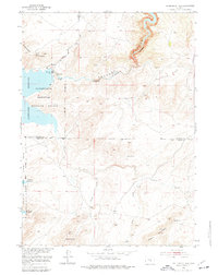
1951 Map of Pathfinder Dam
USGS Topo · Published 1953About this map
Pathfinder Dam stands as the engineering centerpiece of this mid-century survey, managing the waters of the North Platte River where it carves through steep canyon walls. The reservoir, part of a massive early 20th-century irrigation project, is surrounded by the Pathfinder National Wildlife Refuge, which spans the rugged transition from the water's edge to the high peaks of Pathfinder Mountain. The landscape is defined by its water sources, from the steady flow of Little Canyon Creek to isolated landmarks like Swede Spring and Poison Spring.
Find a feature on this map
17 named features on this map. Tap any name to fly to it.
Don’t see what you’re looking for? This feature index may not catch every label — zoom into the map to look around manually.
Map Details
Editions of this 1951 Pathfinder Dam Map
3 editions found
Other maps of this area

1950 · Alcova
USGS Topo · 1:24,000

1951 · Benton Basin SW
USGS Topo · 1:24,000

1951 · Benton Basin
USGS Topo · 1:24,000

1951 · Pathfinder Reservoir NW
USGS Topo · 1:24,000

1951 · Bear Spring
USGS Topo · 1:24,000

1953 · Leo
USGS Topo · 1:24,000

1953 · Pathfinder Reservoir SW
USGS Topo · 1:24,000

1953 · Fourmile Ridge
USGS Topo · 1:24,000

1955 · Casper
USGS Topo · 1:250,000

1958 · Casper
USGS Topo · 1:250,000