
1951 Map of Benton Basin
USGS Topo · Published 1952About this map
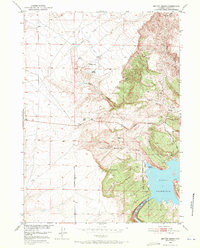
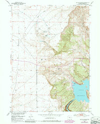
Benton Basin is documented here during a period of significant hydraulic development in the early 1950s. The map illustrates a landscape of arid basins and high plateaus centered on the Alcova Reservoir, part of the larger Missouri River Basin project. Notable for local history is the presence of the Childers Place and its associated Childers Reservoir in the northern portion of the quadrangle, which reflects the early ranching and water management strategies of Natrona County. Along the reservoir's western shoreline, the Casper Boat Club appears as a center for recreation, set against the backdrop of the North Platte River and the steep walls of Fremont Canyon. The topography is marked by named features such as Agate Basin and Horseshoe Basin, with infrastructure including the Pathfinder Road and a telephone line traversing the terrain to connect remote outposts.
Find a feature on this map
18 named features on this map. Tap any name to fly to it.
Don’t see what you’re looking for? This feature index may not catch every label — zoom into the map to look around manually.
Map Details
Editions of this 1951 Benton Basin Map
3 editions found
Other maps of this area

1950 · Alcova
USGS Topo · 1:24,000

1951 · Clarkson Hill
USGS Topo · 1:24,000

1951 · Benton Basin SW
USGS Topo · 1:24,000

1951 · Pathfinder Reservoir NW
USGS Topo · 1:24,000

1951 · Benton Basin NE
USGS Topo · 1:24,000

1951 · Mc Cleary Reservoir
USGS Topo · 1:24,000

1951 · Bear Spring
USGS Topo · 1:24,000

1951 · Pathfinder Dam
USGS Topo · 1:24,000

1955 · Casper
USGS Topo · 1:250,000

1958 · Casper
USGS Topo · 1:250,000