
1951 Map of Benton Basin SW
USGS Topo · Published 1952About this map
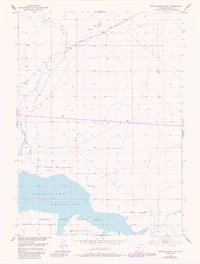
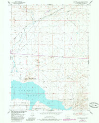
Pathfinder Reservoir dominates the southern landscape of this 1951 study, serving as a focal point for the Pathfinder National Wildlife Refuge. The map captures a high plains environment defined by its water management and early energy infrastructure, evidenced by the Pipe Line Road and an Oil Tank near the northern edge. Historical transit is preserved through the clearly marked Oregon Trail, which cuts diagonally across the sagebrush-covered terrain. Drainage patterns are led by Horse Creek and Pino Draw, illustrating the hydrological network feeding into the reservoir. This Missouri River Basin development project illustrates a mid-century moment where wildlife conservation boundaries overlapped with vital pioneer trails and emerging utility corridors.
Find a feature on this map
13 named features on this map. Tap any name to fly to it.
Don’t see what you’re looking for? This feature index may not catch every label — zoom into the map to look around manually.
Map Details
Editions of this 1951 Benton Basin SW Map
3 editions found
Other maps of this area

1951 · Benton Basin
USGS Topo · 1:24,000

1951 · Pathfinder Reservoir NW
USGS Topo · 1:24,000

1951 · Benton Basin NE
USGS Topo · 1:24,000

1951 · Mc Cleary Reservoir
USGS Topo · 1:24,000

1951 · Pathfinder Dam
USGS Topo · 1:24,000

1951 · Fort Ridge
USGS Topo · 1:24,000

1955 · Casper
USGS Topo · 1:250,000

1958 · Casper
USGS Topo · 1:250,000

1959 · Horse Creek Springs
USGS Topo · 1:24,000

1959 · Sanford Ranch
USGS Topo · 1:24,000