
1959 Map of Horse Creek Springs
USGS Topo · Published 1960About this map
Rattlesnake Range dominates the high desert topography of Natrona County in this late 1950s survey. The landscape is defined by its dramatic relief and isolation, where the perennial waters of Horse Creek Springs and the flow of Horse Creek provide rare riparian points in a dry environment. The presence of an active Oil Field and several Oil Wells in the northeastern corner suggests the early industrial footprint of petroleum extraction in this region of Wyoming.
Find a feature on this map
29 named features on this map. Tap any name to fly to it.
Don’t see what you’re looking for? This feature index may not catch every label — zoom into the map to look around manually.
Map Details
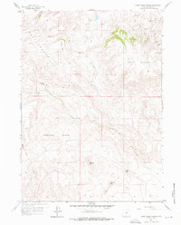
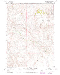
Editions of this 1959 Horse Creek Springs Map
3 editions found
Other maps of this area

1951 · Pine Mountain SW
USGS Topo · 1:24,000

1951 · Benton Basin SW
USGS Topo · 1:24,000

1951 · Mc Cleary Reservoir
USGS Topo · 1:24,000

1955 · Casper
USGS Topo · 1:250,000

1958 · Casper
USGS Topo · 1:250,000

1959 · Eightmile Draw
USGS Topo · 1:24,000

1959 · Sanford Ranch
USGS Topo · 1:24,000
1959 · Stinking Water Creek
USGS Topo · 1:24,000

1959 · Saddle Rock
USGS Topo · 1:24,000
1959 · Beulah Belle Lake
USGS Topo · 1:24,000