
1951 Map of Pine Mountain SW
USGS Topo · Published 1952About this map
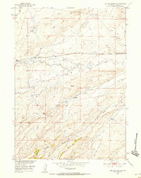
High plains ranching and early petroleum development define this mid-century survey of central Wyoming. West Poison Spider Camp and the Dodds Ranch serve as the primary human outposts in an arid landscape etched by ephemeral drainages such as Soap Creek, Austin Creek, and the curiously named Burnt Wagon Draw. The presence of an Oil Well and several storage tanks near the camp underscores the region's industrial transition as the Missouri River Basin development program progressed. Connectivity across these flats was maintained by the Poison Spider Road and a prominent Telephone Line, which tracked the path of Poison Spider Creek as it wound through the terrain. The map provides a clear record of land use before modern intensification, capturing the isolation of early 1950s Natrona County.
Find a feature on this map
12 named features on this map. Tap any name to fly to it.
Don’t see what you’re looking for? This feature index may not catch every label — zoom into the map to look around manually.
Map Details
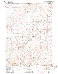
Editions of this 1951 Pine Mountain SW Map
3 editions found
Other maps of this area

1951 · Poison Spider
USGS Topo · 1:24,000

1951 · Benton Basin NE
USGS Topo · 1:24,000

1951 · Mc Cleary Reservoir
USGS Topo · 1:24,000

1951 · Square Top Butte
USGS Topo · 1:24,000

1951 · Reid Canyon
USGS Topo · 1:24,000

1955 · Casper
USGS Topo · 1:250,000

1958 · Casper
USGS Topo · 1:250,000

1959 · Gaylord Reservoir
USGS Topo · 1:24,000

1959 · Eightmile Draw
USGS Topo · 1:24,000

1959 · Horse Creek Springs
USGS Topo · 1:24,000