
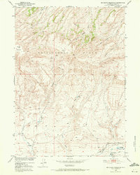
1951 Map of Mc Cleary Reservoir
USGS Topo · Published 1953About this map
The Rattlesnake Range dominates this central Wyoming landscape, creating a high-elevation divide where drainage systems like Burnt Wagon Draw and Pino Draw carve through the terrain. In the early 1950s, this area of Natrona County was defined by its ranching economy and deep historical roots. The presence of the CRI Ranch, UC Ranch, and the CRI School suggests a sparse but established community centered around livestock and local education.
Find a feature on this map
19 named features on this map. Tap any name to fly to it.
Don’t see what you’re looking for? This feature index may not catch every label — zoom into the map to look around manually.
Map Details
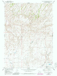
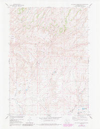
Editions of this 1951 Mc Cleary Reservoir Map
4 editions found
Other maps of this area

1951 · Pine Mountain SW
USGS Topo · 1:24,000

1951 · Benton Basin SW
USGS Topo · 1:24,000

1951 · Benton Basin
USGS Topo · 1:24,000

1951 · Poison Spider
USGS Topo · 1:24,000

1951 · Benton Basin NE
USGS Topo · 1:24,000

1955 · Casper
USGS Topo · 1:250,000

1958 · Casper
USGS Topo · 1:250,000

1959 · Eightmile Draw
USGS Topo · 1:24,000

1959 · Horse Creek Springs
USGS Topo · 1:24,000

1959 · Sanford Ranch
USGS Topo · 1:24,000