
1959 Map of Sanford Ranch
USGS Topo · Published 1961About this map
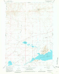
Sanford Ranch and the northern shores of the Pathfinder Reservoir define this high-desert landscape in Natrona County during the late 1950s. The map illustrates a crossroads of historical transit and modern resource extraction, where the ancient Emigrant Trail and Buzzard Trail traverse terrain marked by an Oil Well and a Gravel Pit. The topography is dominated by massive geological features like Black Rock Mountain and Steamboat Rock, while the Pathfinder National Wildlife Refuge protects the wetlands and sagebrush around the reservoir. Water is a central theme in this arid environment, ranging from the flowing Sweetwater River to the seasonal basins of Steamboat Lake and Piaya Lake. A solitary Grave near the ranch site offers a poignant reminder of the early settlers and travelers who navigated this demanding Wyoming frontier.
Find a feature on this map
22 named features on this map. Tap any name to fly to it.
Don’t see what you’re looking for? This feature index may not catch every label — zoom into the map to look around manually.
Map Details
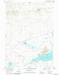
Editions of this 1959 Sanford Ranch Map
3 editions found
Other maps of this area

1951 · Benton Basin SW
USGS Topo · 1:24,000

1951 · Pathfinder Reservoir NW
USGS Topo · 1:24,000

1951 · Independence Rock
USGS Topo · 1:24,000

1951 · Mc Cleary Reservoir
USGS Topo · 1:24,000

1951 · Fort Ridge
USGS Topo · 1:24,000

1955 · Casper
USGS Topo · 1:250,000

1958 · Casper
USGS Topo · 1:250,000

1959 · Horse Creek Springs
USGS Topo · 1:24,000

1959 · Saddle Rock
USGS Topo · 1:24,000
1959 · Beulah Belle Lake
USGS Topo · 1:24,000