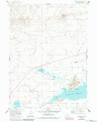
1959 Map of Sanford Ranch
USGS Topo · Published 1985About this map
The Sweetwater River flows across the southern reach of this Wyoming landscape, marking a terrain defined by historic migration corridors and modern water management. The presence of the Oregon Trail Road and the Emigrant Road highlights the deep history of westward travel through Natrona County, while the Pathfinder Reservoir and the Pathfinder National Wildlife Refuge represent mid-twentieth-century conservation and irrigation efforts.
Find a feature on this map
17 named features on this map. Tap any name to fly to it.
Don’t see what you’re looking for? This feature index may not catch every label — zoom into the map to look around manually.
Map Details
Editions of this 1959 Sanford Ranch Map
3 editions found
Other maps of this area

1951 · Benton Basin SW
USGS Topo · 1:24,000

1951 · Pathfinder Reservoir NW
USGS Topo · 1:24,000

1951 · Independence Rock
USGS Topo · 1:24,000

1951 · Mc Cleary Reservoir
USGS Topo · 1:24,000

1951 · Fort Ridge
USGS Topo · 1:24,000

1955 · Casper
USGS Topo · 1:250,000

1958 · Casper
USGS Topo · 1:250,000

1959 · Horse Creek Springs
USGS Topo · 1:24,000

1959 · Sanford Ranch
USGS Topo · 1:24,000

1959 · Saddle Rock
USGS Topo · 1:24,000