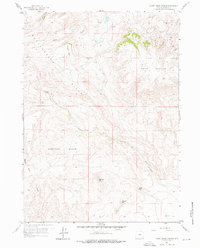
1959 Map of Horse Creek Springs
USGS Topo · Published 1976About this map
Rattlesnake Hills and the high plateaus of Horse Heaven dominate this 1950s landscape in Natrona County. The drainage patterns of Horse Creek and its namesake Horse Creek Springs reveal a complex topography of deep basins and isolated peaks, including Buffalo Head and Breadpan Hill. In the north, an early Oil Field indicates the region’s industrial activity during the mid-century energy expansion. The map also documents landmarks like Black Gap and Vinegar Hill, providing a clear record of the area's geographic nomenclature. Natural features such as Keester Basin and Black Rock Draw illustrate the arid, wind-swept character of the Wyoming interior prior to more modern developments.
Find a feature on this map
18 named features on this map. Tap any name to fly to it.
Don’t see what you’re looking for? This feature index may not catch every label — zoom into the map to look around manually.
Map Details
Editions of this 1959 Horse Creek Springs Map
3 editions found
Other maps of this area

1951 · Pine Mountain SW
USGS Topo · 1:24,000

1951 · Benton Basin SW
USGS Topo · 1:24,000

1951 · Mc Cleary Reservoir
USGS Topo · 1:24,000

1955 · Casper
USGS Topo · 1:250,000

1958 · Casper
USGS Topo · 1:250,000

1959 · Eightmile Draw
USGS Topo · 1:24,000

1959 · Horse Creek Springs
USGS Topo · 1:24,000

1959 · Sanford Ranch
USGS Topo · 1:24,000
1959 · Stinking Water Creek
USGS Topo · 1:24,000

1959 · Saddle Rock
USGS Topo · 1:24,000