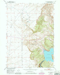
1951 Map of Benton Basin
USGS Topo · Published 1985About this map
Alcova Reservoir and the North Platte River dominate the southeastern corner of this Natrona County landscape, where the water meets the dramatic terrain of Fremont Canyon. The map captures a transition in Wyoming land use, showing the infrastructure of the Casper Boat Club and a nearby Trailer Park alongside traditional ranching landmarks like the Childers Place.
Find a feature on this map
21 named features on this map. Tap any name to fly to it.
Don’t see what you’re looking for? This feature index may not catch every label — zoom into the map to look around manually.
Map Details
Editions of this 1951 Benton Basin Map
3 editions found
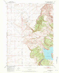
Other maps of this area

1950 · Alcova
USGS Topo · 1:24,000

1951 · Clarkson Hill
USGS Topo · 1:24,000

1951 · Benton Basin SW
USGS Topo · 1:24,000

1951 · Benton Basin
USGS Topo · 1:24,000

1951 · Pathfinder Reservoir NW
USGS Topo · 1:24,000

1951 · Benton Basin NE
USGS Topo · 1:24,000

1951 · Mc Cleary Reservoir
USGS Topo · 1:24,000

1951 · Bear Spring
USGS Topo · 1:24,000

1951 · Pathfinder Dam
USGS Topo · 1:24,000

1955 · Casper
USGS Topo · 1:250,000