
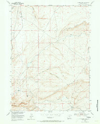
1953 Map of Fourmile Ridge
USGS Topo · Published 1955About this map
Irene Ranch and the distinctive summit of Mine Hill anchor this high-plains landscape in Carbon County, Wyoming, during the early 1950s. The topography is defined by the massive uplift of Fourmile Ridge, which dictates the complex drainage patterns of the region. A network of ephemeral waterways including Sand Draw, Reno Draw, and Horse Draw cut through the terrain, while the branching systems of North Wolf Canyon and Wolf Canyon show the deep erosion typical of this arid environment.
Find a feature on this map
24 named features on this map. Tap any name to fly to it.
Don’t see what you’re looking for? This feature index may not catch every label — zoom into the map to look around manually.
Map Details
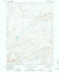
Editions of this 1953 Fourmile Ridge Map
3 editions found
Other maps of this area

1951 · Bear Mountain
USGS Topo · 1:24,000

1951 · Bear Spring
USGS Topo · 1:24,000

1951 · Pathfinder Dam
USGS Topo · 1:24,000

1953 · Leo
USGS Topo · 1:24,000

1953 · Seminoe Dam NE
USGS Topo · 1:24,000

1953 · Fourmile Point
USGS Topo · 1:24,000

1953 · The Q Ranch
USGS Topo · 1:24,000

1953 · Beaver Creek
USGS Topo · 1:24,000

1955 · Casper
USGS Topo · 1:250,000

1958 · Casper
USGS Topo · 1:250,000