
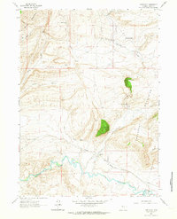
1953 Map of The Q Ranch
USGS Topo · Published 1955About this map
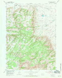
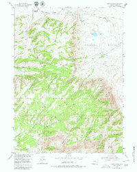
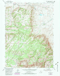
Free Mount Mountains dominate this 1950s landscape, where high-altitude ranching and mineral extraction define the local economy. The presence of an Iron Mine (Inactive) and scattered Ruins suggest a history of boom-and-bust industry in the rugged terrain between Bald Mountain and the Shirley Basin. Water management is central to life here, evidenced by a network of ditches and natural landmarks like The Sinks and Grinnell Lake. Established outposts such as The Q Ranch, Old Dolling Ranch, and Cave Creek Ranch serve as primary hubs of activity in a region where travel is limited to primitive roads and tracks. Numerous drainages, including Troublesome Creek and Cottonwood Creek, carve through the flats and mountains, illustrating the complex hydrology that supported early Carbon County settlers and their livestock.
Find a feature on this map
31 named features on this map. Tap any name to fly to it.
Don’t see what you’re looking for? This feature index may not catch every label — zoom into the map to look around manually.
Map Details
Editions of this 1953 The Q Ranch Map
4 editions found
Other maps of this area

1953 · Fourmile Point
USGS Topo · 1:24,000

1953 · Fourmile Ridge
USGS Topo · 1:24,000

1953 · Schneider Ridge
USGS Topo · 1:24,000

1953 · T E Ranch
USGS Topo · 1:24,000

1953 · Beaver Creek
USGS Topo · 1:24,000

1955 · Casper
USGS Topo · 1:250,000

1958 · Casper
USGS Topo · 1:250,000

1960 · Wild Irish Reservoir
USGS Topo · 1:24,000
1961 · Pine Hill
USGS Topo · 1:24,000
1961 · Difficulty
USGS Topo · 1:24,000