
1953 Map of Beaver Creek
USGS Topo · Published 1956About this map
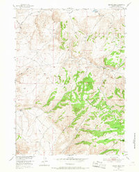
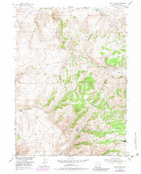
The Freezeout Mountains dominate this high-desert landscape in northern Carbon County, where the elevation rises sharply from the Shirley Basin into a complex network of canyons and draws. This mid-century survey captures a transition in land use, noting established features like Cowden Reservoir and the Park Headquarters alongside the remnants of earlier settlement. The presence of the Tikkinen Ranch (Aband) and Saimi Ranch (Aband) reflects the harsh realities of high-altitude ranching in this territory, while Campbell Headquarters Camp suggests ongoing activity. Transportation is defined by the Shirley Basin Road and a series of primitive jeep trails. The drainage system is intricate, with Balsam Creek, Lost Creek, and South Sage Creek carving deep paths through the terrain, punctuated by named landmarks like Button Meadows and the northern edge of the Bennett Mts.
Find a feature on this map
31 named features on this map. Tap any name to fly to it.
Don’t see what you’re looking for? This feature index may not catch every label — zoom into the map to look around manually.
Map Details
Editions of this 1953 Beaver Creek Map
3 editions found
Other maps of this area

1953 · Leo
USGS Topo · 1:24,000

1953 · Seminoe Dam NE
USGS Topo · 1:24,000

1953 · Seminoe Dam SE
USGS Topo · 1:24,000

1953 · Fourmile Point
USGS Topo · 1:24,000

1953 · Fourmile Ridge
USGS Topo · 1:24,000

1953 · Schneider Ridge
USGS Topo · 1:24,000

1953 · The Q Ranch
USGS Topo · 1:24,000

1953 · T E Ranch
USGS Topo · 1:24,000

1955 · Casper
USGS Topo · 1:250,000

1958 · Casper
USGS Topo · 1:250,000