
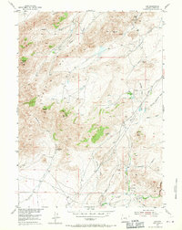
1953 Map of Leo
USGS Topo · Published 1955About this map
The Pedro Mountains dominate this mid-century landscape in Carbon County, where high-altitude ranching and rugged drainages defined the local economy. Several family-named operations are mapped here, including Peters Ranch in the north and the Combs Ranch (Aband) further south, indicating the shifting occupancy of this high Wyoming basin. The small settlement of Leo sits at the southern edge of the sheet, connected to the wider region by the Kortz Road. The terrain is characterized by distinctive geological landmarks like The Chimneys, Pyramid Peak, and Dome Rock. Water management is evident through systems like the Ditch along Sage Creek, essential for sustaining life and livestock in a land carved by ephemeral drainages such as Mc Fade Waterhole Draw and Galusha Draw.
Find a feature on this map
36 named features on this map. Tap any name to fly to it.
Don’t see what you’re looking for? This feature index may not catch every label — zoom into the map to look around manually.
Map Details
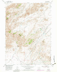
Editions of this 1953 Leo Map
3 editions found
Other maps of this area

1951 · Pathfinder Reservoir NW
USGS Topo · 1:24,000

1951 · Bear Spring
USGS Topo · 1:24,000

1951 · Pathfinder Dam
USGS Topo · 1:24,000

1953 · Seminoe Dam NE
USGS Topo · 1:24,000

1953 · Seminoe Dam
USGS Topo · 1:24,000

1953 · Pathfinder Reservoir SW
USGS Topo · 1:24,000

1953 · Fourmile Ridge
USGS Topo · 1:24,000

1953 · Beaver Creek
USGS Topo · 1:24,000

1955 · Casper
USGS Topo · 1:250,000

1958 · Casper
USGS Topo · 1:250,000