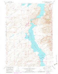
1953 Map of Pathfinder Reservoir SW
USGS Topo · Published 1983About this map
Pathfinder Reservoir dominates this high-altitude Wyoming landscape, serving as a focal point for the surrounding wildlife habitats and drainage systems. This 1953 field-checked survey illustrates the complex hydrology feeding into the reservoir, with named watercourses such as Sand Creek, Bear Creek, Junk Creek, and Sunday Morning Creek cutting through the arid terrain. The eastern edge of the map is defined by the steep slopes of the Pedro Mountains, while the western side shows a more gradual elevation change marked by a Jeep Trail and intermittent springs. The establishment of the Pathfinder National Wildlife Refuge underscores the region's importance for conservation. Human presence is sparse, centered primarily around the Park Ranch, highlighting the character of the Missouri River Basin development era where land use was primarily dedicated to water management, ranching, and the preservation of natural resources.
Find a feature on this map
11 named features on this map. Tap any name to fly to it.
Don’t see what you’re looking for? This feature index may not catch every label — zoom into the map to look around manually.
Map Details
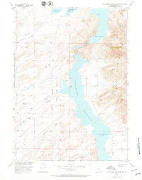
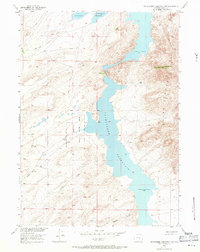
Editions of this 1953 Pathfinder Reservoir SW Map
4 editions found
Other maps of this area

1951 · Pathfinder Reservoir NW
USGS Topo · 1:24,000

1951 · Pathfinder Dam
USGS Topo · 1:24,000

1951 · Fort Ridge
USGS Topo · 1:24,000

1953 · Leo
USGS Topo · 1:24,000

1953 · Bradley Peak
USGS Topo · 1:24,000

1953 · Seminoe Dam NE
USGS Topo · 1:24,000

1953 · Seminoe Dam
USGS Topo · 1:24,000

1953 · Pathfinder Reservoir SW
USGS Topo · 1:24,000

1953 · Buzzard Ranch
USGS Topo · 1:24,000

1955 · Casper
USGS Topo · 1:250,000