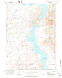
1953 Map of Pathfinder Reservoir SW
USGS Topo · Published 1971About this map
The Pathfinder Reservoir dominates the high-desert landscape of Carbon County in this mid-century survey, its fingers reaching into a network of drainages that define the local topography. To the west of the reservoir, the Pathfinder National Wildlife Refuge provides a protected environment for migratory birds and local fauna, while the rugged eastern shore rises sharply into the Pedro Mountains. Human presence is sparse, centered on the Park Ranch and a series of utilitarian transport routes like the Jeep Trail that traverse the rolling hills. The drainage pattern is exceptionally detailed, featuring evocatively named watercourses such as Sunday Morning Creek, Junk Creek, and Deweese Creek. This map captures a specific moment in Wyoming's water management history, showing the spillway elevations and the relationship between the reservoir and the surrounding ranching and conservation lands.
Find a feature on this map
12 named features on this map. Tap any name to fly to it.
Don’t see what you’re looking for? This feature index may not catch every label — zoom into the map to look around manually.
Map Details
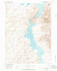
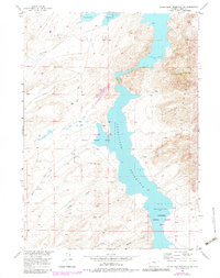
Editions of this 1953 Pathfinder Reservoir SW Map
4 editions found
Other maps of this area

1951 · Pathfinder Reservoir NW
USGS Topo · 1:24,000

1951 · Pathfinder Dam
USGS Topo · 1:24,000

1951 · Fort Ridge
USGS Topo · 1:24,000

1953 · Leo
USGS Topo · 1:24,000

1953 · Bradley Peak
USGS Topo · 1:24,000

1953 · Seminoe Dam NE
USGS Topo · 1:24,000

1953 · Seminoe Dam
USGS Topo · 1:24,000

1953 · Pathfinder Reservoir SW
USGS Topo · 1:24,000

1953 · Buzzard Ranch
USGS Topo · 1:24,000

1955 · Casper
USGS Topo · 1:250,000