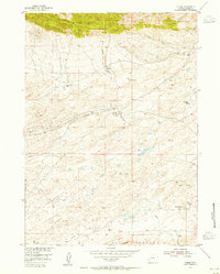
1953 Map of Ferris
USGS Topo · Published 1955About this map
The Ferris Mountains and Table Mountain dominate this mid-century landscape in Carbon County, where high-altitude desert and geological industry converge. The settlement of Ferris sits at the center of the sheet, connected to energy resources like the General Petroleum Oil Field and various Oil Well sites. These features, along with a prominent Pipe Line, illustrate the mid-20th-century reliance on petroleum extraction in the Wyoming basin.
Find a feature on this map
20 named features on this map. Tap any name to fly to it.
Don’t see what you’re looking for? This feature index may not catch every label — zoom into the map to look around manually.
Map Details
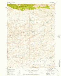
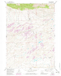
Editions of this 1953 Ferris Map
4 editions found
Other maps of this area

1953 · Bradley Peak
USGS Topo · 1:24,000

1953 · Wild Horse Mountain
USGS Topo · 1:24,000

1953 · Ferris
USGS Topo · 1:24,000

1953 · Buzzard Ranch
USGS Topo · 1:24,000

1953 · Spanish Mine
USGS Topo · 1:24,000

1953 · Riddle Cut
USGS Topo · 1:24,000

1955 · Casper
USGS Topo · 1:250,000

1958 · Casper
USGS Topo · 1:250,000

1960 · Boggy Meadows
USGS Topo · 1:24,000

1961 · Lamont NE
USGS Topo · 1:24,000