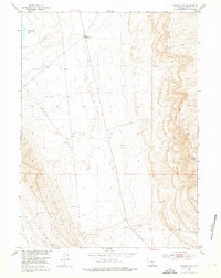
1953 Map of Rawlins NW
USGS Topo · Published 1976About this map
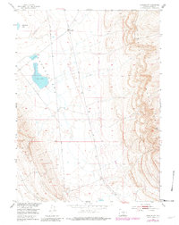
The rugged eastern front of the Haystack Mountains dominates this portion of Carbon County, where high-altitude basin floor meets steep escarpments. At the base of these heights, Meadow Station 4 stands as a lonely marker of former infrastructure, noted as already out of service by the early 1950s. The landscape is defined by its intermittent hydrology, including the eponymous Separation Lake and the nearby Dry Lake, both of which reflect the arid environment of the Wyoming plateau. Industrial development in the mid-century is represented by a prominent Pipe Line cutting through the center of the sheet, traversing the open range between the mountains and the desert basins. This survey was conducted as part of the Department of the Interior program for the development of the Missouri River Basin, documenting a period when the region was primarily utilized for resource transport and grazing.
Find a feature on this map
5 named features on this map. Tap any name to fly to it.
Don’t see what you’re looking for? This feature index may not catch every label — zoom into the map to look around manually.
Map Details
Editions of this 1953 Rawlins NW Map
3 editions found
Other maps of this area

1953 · Wild Horse Mountain
USGS Topo · 1:24,000

1953 · Sinclair
USGS Topo · 1:24,000

1953 · Riddle Cut
USGS Topo · 1:24,000

1953 · Rawlins
USGS Topo · 1:24,000

1953 · Lone Haystack Mountain
USGS Topo · 1:24,000

1953 · Rawlins NW
USGS Topo · 1:24,000

1954 · Rawlins
USGS Topo · 1:250,000

1955 · Casper
USGS Topo · 1:250,000

1956 · Rawlins Peak
USGS Topo · 1:62,500

1958 · Rawlins
USGS Topo · 1:250,000