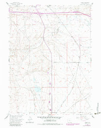
1955 Map of Meads
USGS Topo · Published 1983About this map
The Overland Trail cuts a historic path across the central landscape of this Wyoming survey, passing near the Stage Station (Site of) and the open expanse of Overland Flats. This corridor represents a vital artery of mid-19th-century western migration and transport, now mirrored by the modern infrastructure of the Union Pacific railroad and a network of pipelines and telephone lines. To the north, the small settlement of Walcott Junction and a nearby Trailer Park mark the intersection of rail and road, while the surrounding territory is defined by family-held operations like Peterson Ranch and Crone Ranch. The terrain transitions from the dunes of Sand Basin to the drainage of Pass Creek, illustrating the working landscape of Carbon County as it balanced traditional ranching with emerging energy infrastructure through the mid-20th century.
Find a feature on this map
20 named features on this map. Tap any name to fly to it.
Don’t see what you’re looking for? This feature index may not catch every label — zoom into the map to look around manually.
Map Details
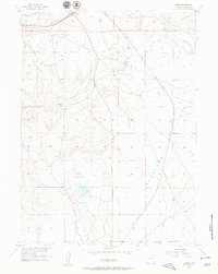
Editions of this 1955 Meads Map
3 editions found
Other maps of this area

1893 · Fort Steele
USGS Topo · 1:125,000

1914 · Hanna
USGS Topo · 1:62,500

1914 · Walcott
USGS Topo · 1:62,500

1954 · Rawlins
USGS Topo · 1:250,000

1955 · Overland
USGS Topo · 1:24,000

1955 · Overland Crossing
USGS Topo · 1:24,000

1955 · Coal Bank Basin
USGS Topo · 1:24,000

1955 · Oberg Ranch
USGS Topo · 1:24,000

1955 · Meads
USGS Topo · 1:24,000

1955 · Savage Ranch
USGS Topo · 1:24,000