
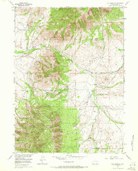
1955 Map of Coad Mountain
USGS Topo · Published 1957About this map
Coad Mountain and the high ridges of the Medicine Bow Pennock Mountain define this mid-century landscape in Carbon County. The topography is dominated by the sprawling timberlands of the Medicine Bow National Forest, where steep drainage networks like Pass Creek and Canyon Creek carve through the terrain. Human settlement is sparse and tied to the water, represented by family operations like Mullen Ranch and Oberg Ranch, which anchor the foothills near the western boundary.
Find a feature on this map
36 named features on this map. Tap any name to fly to it.
Don’t see what you’re looking for? This feature index may not catch every label — zoom into the map to look around manually.
Map Details
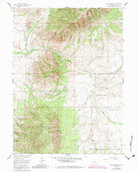
Editions of this 1955 Coad Mountain Map
3 editions found
Other maps of this area

1893 · Fort Steele
USGS Topo · 1:125,000

1906 · Medicine Bow
USGS Topo · 1:125,000

1908 · Medicine Bow
USGS Topo · 1:125,000

1939 · Saratoga
USGS Topo · 1:125,000

1954 · Rawlins
USGS Topo · 1:250,000

1955 · Coal Bank Basin
USGS Topo · 1:24,000

1955 · Elk Mountain
USGS Topo · 1:24,000

1955 · Elk Mountain SW
USGS Topo · 1:24,000

1955 · Oberg Ranch
USGS Topo · 1:24,000

1955 · Rattlesnake Pass
USGS Topo · 1:24,000