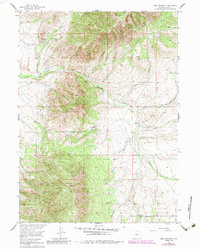
1955 Map of Coad Mountain
USGS Topo · Published 1984About this map
Coad Mountain and Pennock Mountain dominate this mid-century survey of Carbon County, where the northern reaches of the Medicine Bow National Forest meet the high-altitude Wyoming basin. The landscape is defined by its complex drainage network, with Brush Creek and Canyon Creek cutting through the uplands towards lower elevations. Human presence is sparse but specific, marked by established holdings like the Johnson Ranch and the small clearing at Ivans Grove. This 1955 field-checked data reflects a classic ranching and forestry environment, where travel followed natural gaps in the terrain such as Oberg Pass. The map also captures the distinct hydrography of the region, from the Beaver Pond in the south to the wandering course of Finn Creek and Pass Creek, illustrating how water sources dictated the placement of early mountain trails and primitive roads.
Find a feature on this map
34 named features on this map. Tap any name to fly to it.
Don’t see what you’re looking for? This feature index may not catch every label — zoom into the map to look around manually.
Map Details
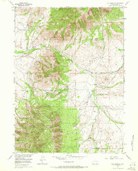
Editions of this 1955 Coad Mountain Map
3 editions found

Other maps of this area

1893 · Fort Steele
USGS Topo · 1:125,000

1906 · Medicine Bow
USGS Topo · 1:125,000

1908 · Medicine Bow
USGS Topo · 1:125,000

1939 · Saratoga
USGS Topo · 1:125,000

1954 · Rawlins
USGS Topo · 1:250,000

1955 · Coal Bank Basin
USGS Topo · 1:24,000

1955 · Elk Mountain
USGS Topo · 1:24,000

1955 · Elk Mountain SW
USGS Topo · 1:24,000

1955 · Oberg Ranch
USGS Topo · 1:24,000

1955 · Rattlesnake Pass
USGS Topo · 1:24,000