Old Maps of Lysite, Wyoming for Genealogy
Trace your family roots with 9 historic maps of Lysite. These high-res maps reveal old neighborhoods, homesites, landmarks, and streets — helping you uncover where your ancestors lived and how the area evolved over time.
- Explore historic neighborhoods: Identify where your relatives may have lived in the 1800s or 1900s.
- Compare maps over time: Trace the changes in streets, buildings, and landmarks for multi-generational research.
- Perfect for genealogy & ancestry research: Used by family historians and researchers to map out lineage and migration.
These maps are an incredible resource for exploring your personal connection to Lysite's past.
Lysite, WY maps
(9)- 1952 Map of Lysite, 1953 Print
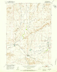 1952 Lysite1953 Print · USGSFremont County, Wyoming, is captured here in the early fifties as a landscape defined by railroad commerce and water engineering. Genealogists and historians can locate the Lost Cabin Cemetery and trace the Chicago Burlington and Quincy rail line through Lysite.2 unique versions available
 - 1955 Map of Arminto, 1976 Print
 1955 Arminto1976 Print · USGSCentral Wyoming at the mid-century shows a landscape of energy reserves and high-plains ranching. Genealogists and historians can trace the Burlington Northern line through Lost Cabin and the famed Teapot Dome Naval Petroleum Reserve No 3.2 unique versions available
 - 1958 Map of Arminto
 1958 Arminto1958 Print · USGSCentral Wyoming in the late fifties was a landscape of high-plains energy and remote rail outposts. Researchers can trace the Chicago Burlington and Quincy railroad through towns like Arminto and Waltman or locate landmarks like Teapot Rock.
 - 1962 Map of Arminto
 1962 Arminto1962 Print · USGSCentral Wyoming in the early sixties reveals a landscape shaped by the Chicago and North Western railroad and early energy development. Trace the history of the region through remote outposts like Arminto, the US Naval Petroleum Reserve, and the geologic landmark at Hells Half Acre.
 - 1982 Map of Lysite
 1982 Lysite1982 Print · USGSCentral Wyoming's high plains and mountain foothills are captured here in the early 1980s, centered on the ranching and rail outposts of Natrona and Fremont Counties. Genealogists and historians can trace the paths of the Burlington Northern and the Old Railroad Grade through Lysite, Lost Cabin, and Arminto.
 - 2012 Map of Lysite, 2012 Print
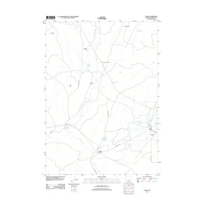 2012 Lysite2012 Print · USGSCovers Lysite, including Lost Cabin, Fremont County, and other nearby areas
 - 2015 Map of Lysite, 2015 Print
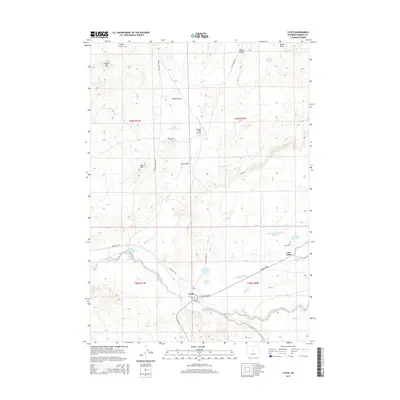 2015 Lysite2015 Print · USGSCovers Lysite, including Lost Cabin, Fremont County, and other nearby areas
 - 2017 Map of Lysite, 2017 Print
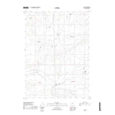 2017 Lysite2017 Print · USGSCovers Lysite, including Lost Cabin, Fremont County, and other nearby areas
 - 2021 Map of Lysite, 2021 Print
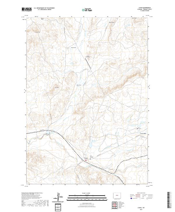 2021 Lysite2021 Print · USGSFremont County ranching country is documented here in the early twenty-first century, centered on the small settlements of Lysite and Lost Cabin. Researchers can trace local history through the Lost Cabin Cem and the David Schoening Gravesite among the draws of Badwater Creek.
End of results
Showing maps 1-9 of 9
Frequently asked questions
- What are the different types of historical maps available for Lysite?
- What is the oldest map of Lysite?
- Where can I purchase historical maps of Lysite for my home or office?
- Where can I download high-res historical maps of Lysite?
- Are there historical topographic maps available for Lysite?
- Is there historical aerial imagery available for Lysite?
- Where are historical maps of Lysite sourced from?