Old Maps of Rockeagle, Wyoming for Hiking & Exploration
Hike through history with 11 historic maps of Rockeagle. Explore old trails, ghost towns, and forgotten backroads — perfect for outdoor adventurers and local explorers.
- Rediscover forgotten places: Map out old mining camps, roads, and footpaths that no longer exist on modern maps.
- Layer with modern tools: Combine with LiDAR or satellite views to plan hikes through historical terrain.
- Made for exploration: Popular among hikers, overlanders, and local history lovers.
Use these maps to find adventure and explore the hidden past of Rockeagle.
Rockeagle, WY maps
(11)- 1896 Map of Hartville
 1896 Hartville1896 Print · USGSSoutheast Wyoming in the late nineteenth century was a territory of vital river crossings and early industry. Researchers can trace the junction of the Laramie River and North Platte River near Fort Laramie and locate early rail hubs at Wheatland and Wendover.
 - 1901 Map of Hartville
 1901 Hartville1901 Print · USGSEastern Wyoming at the turn of the century reveals a landscape defined by the arrival of the rails and the legacy of the frontier. Genealogists can trace family ranching sites like Dotys Ranch or early towns such as Hartville and Fort Laramie.2 unique versions available
 - 1950 Map of Rockeagle, 1952 Print
 1950 Rockeagle1952 Print · USGSGoshen County ranching and military history are preserved here at the start of the 1950s. Researchers can locate the Old Doty Ranch Site, the expansive Fort Laramie Military Reservation (Abandoned), and the settlement of Rockeagle.5 unique versions available
 - 1954 Map of Torrington, 1963 Print
 1954 Torrington1963 Print · USGSEastern Wyoming and the Nebraska borderlands are captured here during the mid-fifties, showing a landscape shaped by the Platte River and the Laramie Range. Researchers can trace deep history at the Fort Laramie National Historical Site, the Old Doty Ranch Site, and along the Old Fetterman Road.4 unique versions available
 - 1958 Map of Torrington
 1958 Torrington1958 Print · USGSEastern Wyoming and the Nebraska borderlands are captured in the late fifties, showcasing a landscape of high plains ranching and river-fed industry. Trace the historic paths of the Union Pacific railroad and find legacy sites like Fort Laramie and Sunrise.
 - 1978 Map of Torrington
 1978 Torrington1978 Print · USGSSoutheast Wyoming in the late seventies reveals a landscape shaped by the North Platte River and a dense network of major rail lines. Researchers can locate the Fort Laramie National Historic Site, the Camp Guernsey Training Area, and original stops along the Union Pacific railroad.2 unique versions available
 - 1990 Map of Doty Hill, 1995 Print
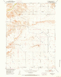
 1990 Doty Hill1995 Print · USGSThe Goshen County high plains are captured here in the early nineties, showing a landscape of scattered ranchland and prominent landforms. Researchers can locate isolated water sources like Cherry Creek and Spring and trace the topography surrounding Doty Hill and Horseshoe Butte.
 - 2012 Map of Doty Hill, 2012 Print
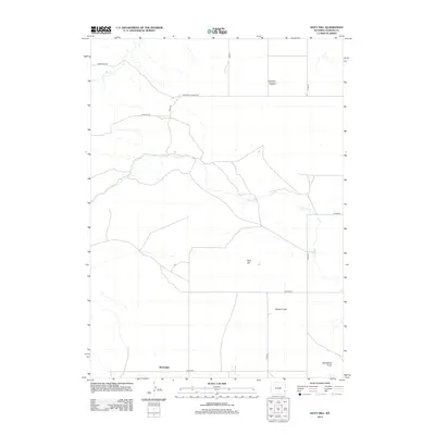 2012 Doty Hill2012 Print · USGSCovers Rockeagle, including Goshen County, United States, and other nearby areas
 - 2015 Map of Doty Hill, 2015 Print
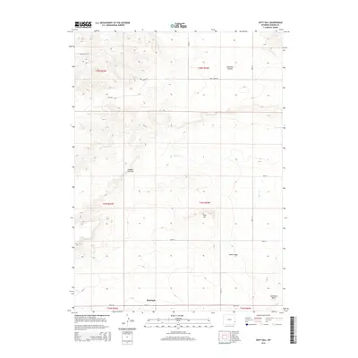 2015 Doty Hill2015 Print · USGSCovers Rockeagle, including Goshen County, United States, and other nearby areas
 - 2017 Map of Doty Hill, 2017 Print
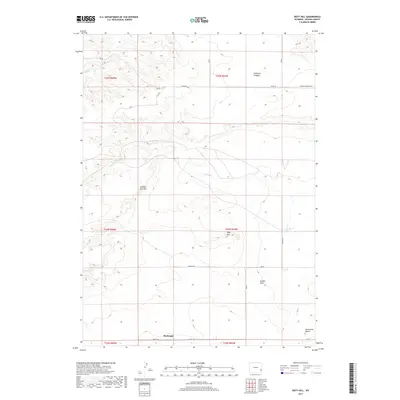 2017 Doty Hill2017 Print · USGSCovers Rockeagle, including Goshen County, United States, and other nearby areas
 - 2021 Map of Doty Hill, 2021 Print
 2021 Doty Hill2021 Print · USGSThe Goshen Hole region of eastern Wyoming is documented here in the early twenty-first century, showing the transition from high rims to broad basin floors. Genealogists and historians can trace local travel routes like Teeters Rd and settlements like Rockeagle.
End of results
Showing maps 1-11 of 11
Top cities near Rockeagle
Frequently asked questions
- What are the different types of historical maps available for Rockeagle?
- What is the oldest map of Rockeagle?
- Where can I purchase historical maps of Rockeagle for my home or office?
- Where can I download high-res historical maps of Rockeagle?
- Are there historical topographic maps available for Rockeagle?
- Is there historical aerial imagery available for Rockeagle?
- Where are historical maps of Rockeagle sourced from?