Old Maps of Hazelton, Wyoming for Metal Detecting
Plan your next treasure hunt with 12 historic maps of Hazelton. Find old homesites, ghost towns, trails, and gathering spots that may be lost to time — perfect for identifying promising metal detecting locations.
- Locate forgotten sites: Uncover places like long-lost settlements, abandoned rail lines, or gathering spots.
- Plan better hunts: Use map overlays combined with LiDAR or satellite views to narrow in on historically rich areas.
- Made for detectorists: Thousands of hobbyists use these maps to discover relics, coins, and hidden history.
Use these historic maps to boost your research and find new opportunities beneath the surface of Hazelton.
Hazelton, WY maps
(12)- 1900 Map of Fort McKinney, 1956 Print
 1900 Fort McKinney1956 Print · USGSJohnson County was a landscape of military outposts and early ranching during the 1890s. Researchers can trace the layout of the Fort Mc Kinney Military Reservation or locate family sites like the T A Ranch and Hepp Ranch.
 - 1903 Map of Fort McKinney
 1903 Fort McKinney1903 Print · USGSJohnson County at the turn of the century shows a landscape transitioning from military frontier to a ranching economy. Researchers can locate early family outposts like Trabing, Greub, and the T A Ranch alongside the Fort Mc. Kinney Military Reservation.3 unique versions available
 - 1955 Map of Sheridan, 1973 Print
 1955 Sheridan1973 Print · USGSThe Bighorn Mountains meet the Powder River Basin in the 1950s, a period when cattle ranching and coal mining defined the regional economy. Genealogists and historians can trace local landmarks like the Fort Mackenzie Veteran Hospital, the Monarch Coal Mine, and legacy operations such as the Beckton Stock Farm.2 unique versions available
 - 1958 Map of Sheridan
 1958 Sheridan1958 Print · USGSThe Bighorn Mountains meet the high plains in the mid-1950s, revealing a landscape of large-scale ranching and mineral extraction. Trace the legacy of early settlements and industry through the Kleenburn Coal Tipple, Beckton Stock Farm, and the Hidden Dome Oil & Gas Field.2 unique versions available
 - 1962 Map of Sheridan
 1962 Sheridan1962 Print · USGSThe Big Horn Mountains and Powder River country are captured here in the early sixties as energy production and ranching shaped northern Wyoming. Researchers can locate specific sites like the Kleenburn Coal Tipple, Eaton Bros Ranch, and the Fort McKenzie Veteran Hospital.
 - 1967 Map of Hazelton, 1971 Print
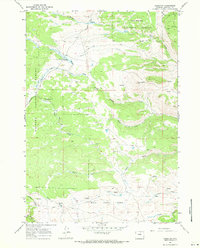 1967 Hazelton1971 Print · USGSThe Bighorn Mountains in the late sixties were a landscape of remote ranching outposts and high-country trails. Genealogists and researchers can trace local landmarks like Hazelton, the Grave on the ridge, and the mountain irrigation of Hazelton Ditch.
 - 1978 Map of Buffalo, 1979 Print
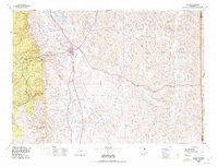 1978 Buffalo1979 Print · USGSThe Bighorn foothills and the Powder River basin meet in the late seventies near Buffalo. Genealogists and historians can trace old ranching outposts like Hazelton and Trabing or locate landmarks like Lake De Smet and the remote Four Corners.
 - 1993 Map of Hazelton, 1997 Print
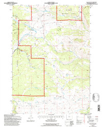 1993 Hazelton1997 Print · USGSThe high country of Johnson County comes into focus in the early nineties, centered on the remote settlement of Hazelton. Genealogists and researchers can locate a marked grave and cabin, or trace old mining prospects and the Hazelton Ditch.
 - 2012 Map of Hazelton, 2012 Print
 2012 Hazelton2012 Print · USGSJohnson County’s high-country ranching and recreation lands are captured here in the early twenty-first century. Researchers can trace the path of the Hazelton Ditch and locate landmarks like Hazelton and the Lower Doyle Creek Campground.
 - 2015 Map of Hazelton, 2015 Print
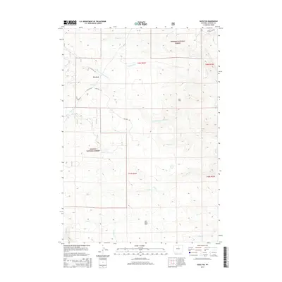 2015 Hazelton2015 Print · USGSHigh in the Johnson County mountains during the early twenty-first century, this area preserves the legacy of early Wyoming travel. You can trace the path of the Old Stage Stop Rd near Hazelton and locate remote landmarks like Bull Camp Park.
 - 2017 Map of Hazelton, 2017 Print
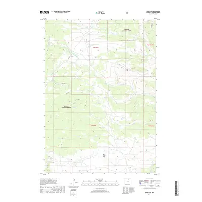 2017 Hazelton2017 Print · USGSThe Johnson County highlands are captured here in the late twenty-teens, showing the remote settlement of Hazelton surrounded by Bighorn National Forest. Trace high-country landmarks like Bald Hill, Bull Camp Park, and the headwaters of Middle Fork Crazy Woman Cr.
 - 2021 Map of Hazelton, 2021 Print
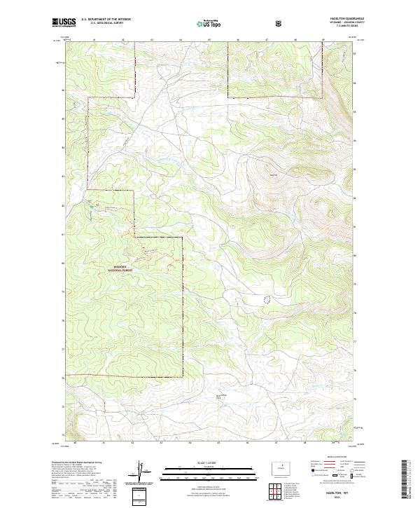 2021 Hazelton2021 Print · USGSJohnson County’s high country is captured here in the early 2020s, showing a land of mountain streams and forest service trails. Researchers can trace the path of Hazelton Rd past landmarks like Bull Camp Park and the historic Hazelton Ditch.
End of results
Showing maps 1-12 of 12
Frequently asked questions
- What are the different types of historical maps available for Hazelton?
- What is the oldest map of Hazelton?
- Where can I purchase historical maps of Hazelton for my home or office?
- Where can I download high-res historical maps of Hazelton?
- Are there historical topographic maps available for Hazelton?
- Is there historical aerial imagery available for Hazelton?
- Where are historical maps of Hazelton sourced from?