Old Maps of Arcola, Wyoming for Academic Research
Study the evolution of Arcola with 10 high-resolution historic maps. Whether you're teaching, researching, or modeling changes in land use, these maps provide essential visual documentation of urban, environmental, and geographic change.
- Analyze long-term change: Track patterns in development, transportation, and natural features.
- Ideal for environmental or urban studies: Support academic projects with primary historical map data.
- Use in the classroom or lab: Educators and researchers rely on these maps to bring historical context to life.
These maps are a powerful tool for teaching, research, and visualizing how Arcola has changed over the decades.
Arcola, WY maps
(10)- 1954 Map of Cheyenne, 1963 Print
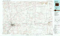
 1954 Cheyenne1963 Print · USGSSoutheastern Wyoming's high plains and the capital city's mid-century expansion are documented here during the early Cold War. Genealogists and historians can trace rail-aligned settlements like Pine Bluffs and Hillsdale, or explore landmarks like the Ames Monument and Francis E. Warren Air Force Base.3 unique versions available
 - 1958 Map of Cheyenne
 1958 Cheyenne1958 Print · USGSSoutheast Wyoming and the Nebraska border appear in the late 1950s as a hub of military defense and rail commerce. Genealogists can trace the Union Pacific through Cheyenne or locate the Horse Creek Oil Field and the State Capitol.2 unique versions available
 - 1963 Map of Arcola, 1967 Print
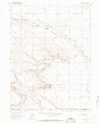 1963 Arcola1967 Print · USGSThe high plains along the Wyoming-Colorado border are captured here in the early sixties, centered on the railroad crossing at Arcola. Researchers can trace the path of the Chicago Burlington and Quincy and locate landmarks like the Beaver Dam Ditch and Porter Creek.
 - 1981 Map of Cheyenne
 1981 Cheyenne1981 Print · USGSCheyenne and the surrounding high plains are captured here in the early eighties, showcasing the intersection of major rail lines and interstate highways. Genealogists and historians can trace the development of outlying ranching communities like Carpenter, Arcola, and the border town of Pine Bluffs.2 unique versions available
 - 1991 Map of Arcola, 1995 Print
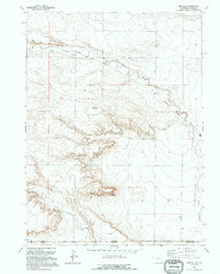 1991 Arcola1995 Print · USGSThe high plains along the Wyoming and Colorado border appear in the early 1990s as a landscape of remote drainages and industrial relics. Trace the Old Railroad Grade past Arcola and locate landmarks like Chalk Bluffs and Porter Creek.
 - 2010 Map of Arcola, 2010 Print
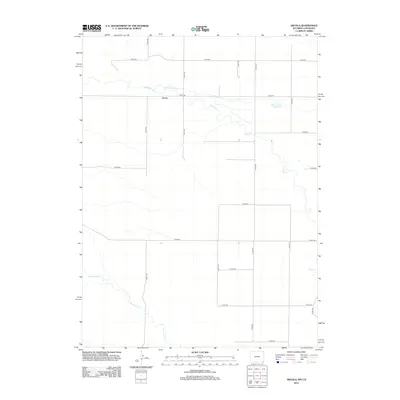
 2010 Arcola2010 Print · USGSCovers Arcola, including Weld County, Laramie County, and other nearby areas
 - 2012 Map of Arcola, 2012 Print
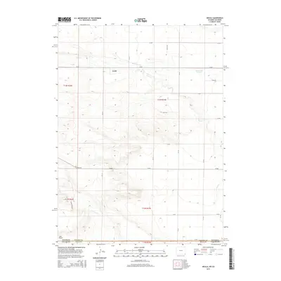
 2012 Arcola2012 Print · USGSCovers Arcola, including Weld County, Laramie County, and other nearby areas
 - 2015 Map of Arcola, 2015 Print
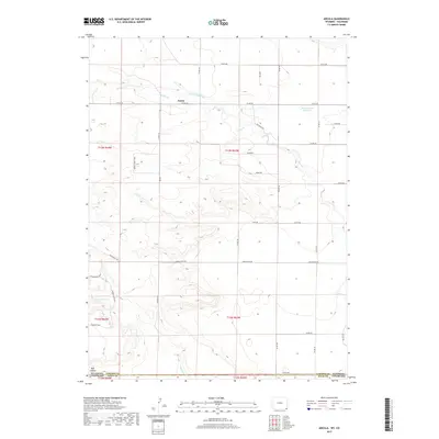
 2015 Arcola2015 Print · USGSCovers Arcola, including Weld County, Laramie County, and other nearby areas
 - 2017 Map of Arcola, 2017 Print
 2017 Arcola2017 Print · USGSCovers Arcola, including Weld County, Laramie County, and other nearby areas
 - 2021 Map of Arcola, 2021 Print
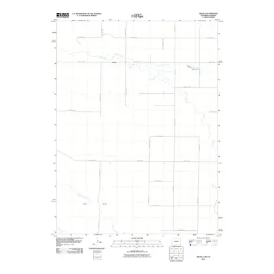
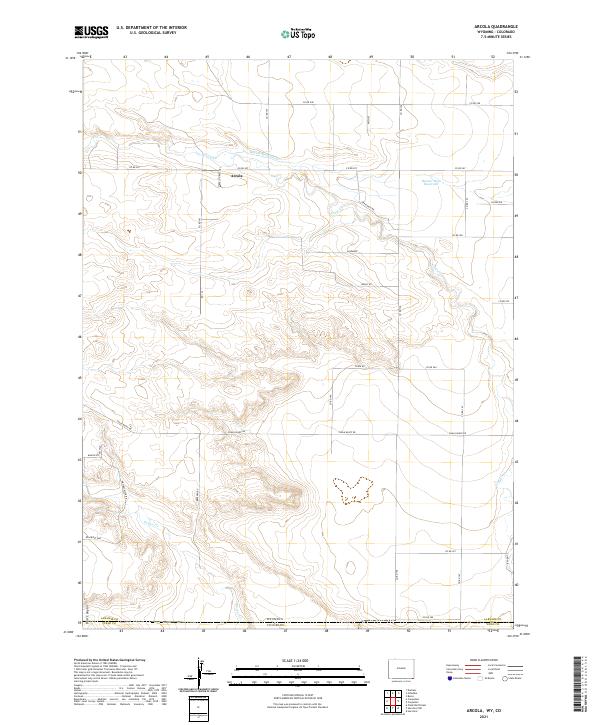 2021 Arcola2021 Print · USGSThe high plains of the Wyoming-Colorado border are captured here in the early twenty-first century, showing a landscape defined by ranching routes and water management. Researchers can trace the drainage of Crow Cr and locate local landmarks like Arcola and Beaver Dam Reservoir.
End of results
Showing maps 1-10 of 10
Top cities near Arcola
Frequently asked questions
- What are the different types of historical maps available for Arcola?
- What is the oldest map of Arcola?
- Where can I purchase historical maps of Arcola for my home or office?
- Where can I download high-res historical maps of Arcola?
- Are there historical topographic maps available for Arcola?
- Is there historical aerial imagery available for Arcola?
- Where are historical maps of Arcola sourced from?