Old Maps of Badwater, Wyoming for Metal Detecting
Plan your next treasure hunt with 9 historic maps of Badwater. Find old homesites, ghost towns, trails, and gathering spots that may be lost to time — perfect for identifying promising metal detecting locations.
- Locate forgotten sites: Uncover places like long-lost settlements, abandoned rail lines, or gathering spots.
- Plan better hunts: Use map overlays combined with LiDAR or satellite views to narrow in on historically rich areas.
- Made for detectorists: Thousands of hobbyists use these maps to discover relics, coins, and hidden history.
Use these historic maps to boost your research and find new opportunities beneath the surface of Badwater.
Badwater, WY maps
(9)- 1952 Map of Badwater, 1953 Print
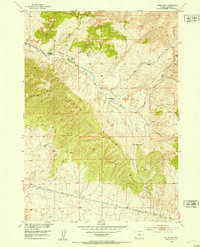 1952 Badwater1953 Print · USGSNatrona County's high-desert terrain is captured in the early 1950s, highlighting a remote ranching and energy landscape. Genealogists and historians can trace family locations at Hendry Ranch and the Swaim Place, or locate old industrial markers like the Derrick and Oil Well (Dry).3 unique versions available
 - 1955 Map of Arminto, 1976 Print
 1955 Arminto1976 Print · USGSCentral Wyoming at the mid-century shows a landscape of energy reserves and high-plains ranching. Genealogists and historians can trace the Burlington Northern line through Lost Cabin and the famed Teapot Dome Naval Petroleum Reserve No 3.2 unique versions available
 - 1958 Map of Arminto
 1958 Arminto1958 Print · USGSCentral Wyoming in the late fifties was a landscape of high-plains energy and remote rail outposts. Researchers can trace the Chicago Burlington and Quincy railroad through towns like Arminto and Waltman or locate landmarks like Teapot Rock.
 - 1962 Map of Arminto
 1962 Arminto1962 Print · USGSCentral Wyoming in the early sixties reveals a landscape shaped by the Chicago and North Western railroad and early energy development. Trace the history of the region through remote outposts like Arminto, the US Naval Petroleum Reserve, and the geologic landmark at Hells Half Acre.
 - 1982 Map of Lysite
 1982 Lysite1982 Print · USGSCentral Wyoming's high plains and mountain foothills are captured here in the early 1980s, centered on the ranching and rail outposts of Natrona and Fremont Counties. Genealogists and historians can trace the paths of the Burlington Northern and the Old Railroad Grade through Lysite, Lost Cabin, and Arminto.
 - 2012 Map of Badwater, 2012 Print
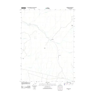 2012 Badwater2012 Print · USGSCovers Badwater, including Swaim Place, Natrona County, and other nearby areas
 - 2015 Map of Badwater, 2015 Print
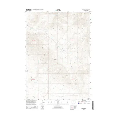 2015 Badwater2015 Print · USGSCovers Badwater, including Swaim Place, Natrona County, and other nearby areas
 - 2017 Map of Badwater, 2017 Print
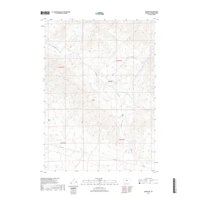 2017 Badwater2017 Print · USGSCovers Badwater, including Swaim Place, Natrona County, and other nearby areas
 - 2021 Map of Badwater, 2021 Print
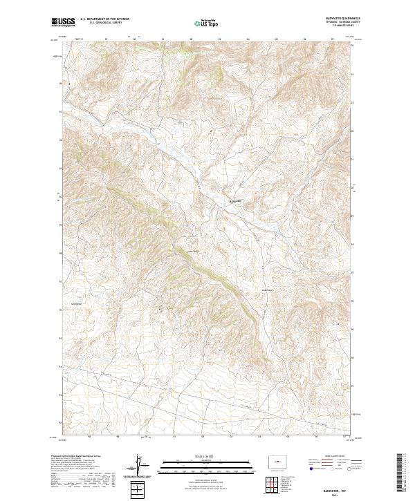 2021 Badwater2021 Print · USGSCentral Wyoming's high plains come into focus in the early 2020s, showing a landscape of seasonal creeks and remote trails. Genealogists and historians can trace routes like Lost Cabin Rd or locate features such as Badwater and Cedar Gap.
End of results
Showing maps 1-9 of 9
Frequently asked questions
- What are the different types of historical maps available for Badwater?
- What is the oldest map of Badwater?
- Where can I purchase historical maps of Badwater for my home or office?
- Where can I download high-res historical maps of Badwater?
- Are there historical topographic maps available for Badwater?
- Is there historical aerial imagery available for Badwater?
- Where are historical maps of Badwater sourced from?