
1952 Map of Badwater
USGS Topo · Published 1953About this map
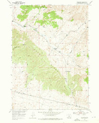
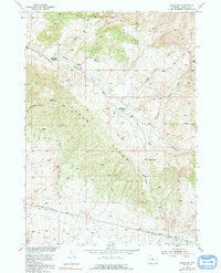
Hendry Ranch and the Swaim Place stand as primary points of habitation in this high-desert landscape during the early 1950s. The map illustrates a region defined by complex drainage systems and significant geological relief, centered on the prominent Cedar Ridge and its passage at Cedar Gap. Transportation is largely restricted to established routes like the Badwater Road and the Lost Cabin Arminto Road, reflecting the infrastructure of Natrona County's ranching and early energy exploration sectors. An Oil Well (Dry) and a Derrick near the southern margin point to the area's mid-century petroleum prospecting. Water sources are critical landmarks here, with Frenchie Creek, Clear Creek, and Badwater Creek carving paths through the terrain, while various Springs provide essential points of interest for local history and genealogy research.
Find a feature on this map
19 named features on this map. Tap any name to fly to it.
Don’t see what you’re looking for? This feature index may not catch every label — zoom into the map to look around manually.
Map Details
Editions of this 1952 Badwater Map
3 editions found
Other maps of this area

1952 · Cottonwood Pass
USGS Topo · 1:24,000

1952 · Arminto
USGS Topo · 1:24,000

1952 · Madden
USGS Topo · 1:24,000

1952 · Arminto NW
USGS Topo · 1:24,000

1952 · Lysite SE
USGS Topo · 1:24,000

1952 · Sioux Pass
USGS Topo · 1:24,000

1952 · Badwater NE
USGS Topo · 1:24,000

1952 · Badwater SE
USGS Topo · 1:24,000

1955 · Arminto
USGS Topo · 1:250,000

1958 · Arminto
USGS Topo · 1:250,000