
1952 Map of Lysite SE
USGS Topo · Published 1953About this map
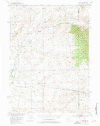
Badwater Creek and its complex system of tributaries carve through this high desert landscape on the border of Fremont and Natrona counties. In the early 1950s, the region's economy is defined by a mix of ranching and industrial infrastructure, evidenced by family-run operations like Lybyer Ranch, Allen Ranch, and Bauer Ranch. The southwestern corner of the quadrangle reveals a localized hub of activity featuring the Lost Cabin Pumping Station and the Lost Cabin Landing Field, which are linked to the surrounding territory by the Lost Cabin Arminto Road. A network of ditches and pipelines cutting across the drainage of Sand Creek and the South Fork Badwater Creek illustrates the vital role of water management in this arid ranching environment.
Find a feature on this map
16 named features on this map. Tap any name to fly to it.
Don’t see what you’re looking for? This feature index may not catch every label — zoom into the map to look around manually.
Map Details
Editions of this 1952 Lysite SE Map
2 editions found
Other maps of this area

1952 · Cottonwood Pass
USGS Topo · 1:24,000

1952 · Moneta
USGS Topo · 1:24,000

1952 · Badwater
USGS Topo · 1:24,000

1952 · Lysite
USGS Topo · 1:24,000

1952 · Madden
USGS Topo · 1:24,000

1952 · Arminto NW
USGS Topo · 1:24,000

1952 · Sioux Pass
USGS Topo · 1:24,000

1952 · Arapahoe Butte
USGS Topo · 1:24,000

1955 · Arminto
USGS Topo · 1:250,000

1958 · Arminto
USGS Topo · 1:250,000