
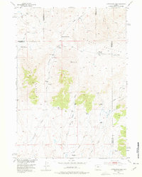
1952 Map of Cottonwood Pass
USGS Topo · Published 1953About this map
Lysite Mountain and the southern reaches of the Bighorn Mountains define this high-altitude landscape along the triple-point boundary of Hot Springs, Fremont, and Natrona counties. Mapped as part of a Missouri River Basin development program, the area is characterized by a network of seasonal water sources and early livestock operations. Genealogy researchers can find several designated family sites, including the active Nichols Ranch and Britain Ranch, alongside several locations already noted as deserted by the early 1950s.
Find a feature on this map
29 named features on this map. Tap any name to fly to it.
Don’t see what you’re looking for? This feature index may not catch every label — zoom into the map to look around manually.
Map Details
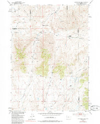
Editions of this 1952 Cottonwood Pass Map
3 editions found
Other maps of this area

1952 · Badwater
USGS Topo · 1:24,000

1952 · Lysite
USGS Topo · 1:24,000

1952 · Lysite SE
USGS Topo · 1:24,000

1952 · Sioux Pass
USGS Topo · 1:24,000

1952 · Arapahoe Butte
USGS Topo · 1:24,000

1952 · Battle Mountain
USGS Topo · 1:24,000

1952 · Bull Mountain
USGS Topo · 1:24,000

1955 · Arminto
USGS Topo · 1:250,000

1958 · Arminto
USGS Topo · 1:250,000

1962 · Arminto
USGS Topo · 1:250,000