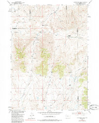
1952 Map of Cottonwood Pass
USGS Topo · Published 1985About this map
Nichols Ranch and the Britain Ranch anchor this mid-century look at the high-country borderlands where Fremont, Hot Springs, and Natrona counties meet. The landscape is defined by the high ridges of Lysite Mountain and the Bighorn Mountains, which separate drainage basins like the Nowood River to the north from the intricate networks of Cottonwood Creek and Snyder Creek below.
Find a feature on this map
26 named features on this map. Tap any name to fly to it.
Don’t see what you’re looking for? This feature index may not catch every label — zoom into the map to look around manually.
Map Details
Editions of this 1952 Cottonwood Pass Map
3 editions found
Other maps of this area

1952 · Cottonwood Pass
USGS Topo · 1:24,000

1952 · Badwater
USGS Topo · 1:24,000

1952 · Lysite
USGS Topo · 1:24,000

1952 · Lysite SE
USGS Topo · 1:24,000

1952 · Sioux Pass
USGS Topo · 1:24,000

1952 · Arapahoe Butte
USGS Topo · 1:24,000

1952 · Battle Mountain
USGS Topo · 1:24,000

1952 · Bull Mountain
USGS Topo · 1:24,000

1955 · Arminto
USGS Topo · 1:250,000

1958 · Arminto
USGS Topo · 1:250,000