
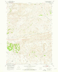
1952 Map of Badwater SE
USGS Topo · Published 1954About this map
Badwater Creek and its complex drainage system dominate this high-desert landscape in Natrona County during the early 1950s. The map illustrates a shift in human presence across the territory, documenting former ranching and residential sites such as the Lichty Cabin (Aband) in the north and the Hitchcock Homestead (Aband) to the southwest. These markers, along with various Corrals, indicate a legacy of livestock management along seasonal water sources like Red Creek and Willow Creek.
Find a feature on this map
18 named features on this map. Tap any name to fly to it.
Don’t see what you’re looking for? This feature index may not catch every label — zoom into the map to look around manually.
Map Details
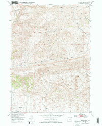
Editions of this 1952 Badwater SE Map
3 editions found
Other maps of this area

1952 · Deadman Butte
USGS Topo · 1:24,000

1952 · Badwater
USGS Topo · 1:24,000

1952 · Grave Spring
USGS Topo · 1:24,000

1952 · Arminto
USGS Topo · 1:24,000

1952 · Arminto NW
USGS Topo · 1:24,000

1952 · Waltman NW
USGS Topo · 1:24,000

1952 · Sioux Pass
USGS Topo · 1:24,000

1952 · Badwater NE
USGS Topo · 1:24,000

1955 · Arminto
USGS Topo · 1:250,000

1958 · Arminto
USGS Topo · 1:250,000