
1952 Map of Waltman NW
USGS Topo · Published 1953About this map
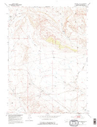
Ralston Flats dominates the central landscape of this Natrona County interior, where the high desert terrain transitions into a complex network of draws and gulches. The mid-century mapping highlights a critical transportation corridor through the Missouri River Basin, defined by the parallel routes of the Chicago and North Western and the Burlington and Quincy railroads. These rail lines follow the natural contours of the land, crossing seasonal drainages like Cave Gulch and the North Branch.
Find a feature on this map
18 named features on this map. Tap any name to fly to it.
Don’t see what you’re looking for? This feature index may not catch every label — zoom into the map to look around manually.
Map Details
Editions of this 1952 Waltman NW Map
2 editions found
Other maps of this area

1952 · Deadman Butte
USGS Topo · 1:24,000

1952 · Arminto
USGS Topo · 1:24,000

1952 · Waltman
USGS Topo · 1:24,000

1952 · Hiland
USGS Topo · 1:24,000

1952 · Badwater SE
USGS Topo · 1:24,000

1955 · Arminto
USGS Topo · 1:250,000

1958 · Arminto
USGS Topo · 1:250,000

1962 · Arminto
USGS Topo · 1:250,000
1968 · Notches Dome
USGS Topo · 1:24,000
1968 · Three Buttes
USGS Topo · 1:24,000