
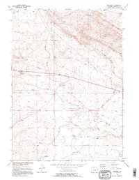
1952 Map of Waltman
USGS Topo · Published 1953About this map
Waltman sits at the center of this Wyoming landscape during the early 1950s, a period defined by the industrial infrastructure of the Missouri River Basin development. The map reveals a transition in transportation, showing both the active Chicago Burlington and Quincy line and a Dismantled Railroad tracing through the sagebrush. Water management and ranching are central to life here, evidenced by the Springeteen Ranch and Cooper Reservoir, along with numerous ephemeral drainages like Sand Draw, Waltman Draw, and Keg Spring Draw. The southern portion of the sheet is dominated by the South Fork Powder River and Aspirin Creek, while the presence of Pipe Lines and a Telephone Line cutting across the sections highlights the mid-century push for utility expansion across Natrona County.
Find a feature on this map
18 named features on this map. Tap any name to fly to it.
Don’t see what you’re looking for? This feature index may not catch every label — zoom into the map to look around manually.
Map Details
Editions of this 1952 Waltman Map
2 editions found
Other maps of this area

1952 · Arminto
USGS Topo · 1:24,000

1952 · Waltman NW
USGS Topo · 1:24,000

1952 · Hiland
USGS Topo · 1:24,000

1955 · Arminto
USGS Topo · 1:250,000

1955 · Casper
USGS Topo · 1:250,000

1958 · Casper
USGS Topo · 1:250,000

1958 · Arminto
USGS Topo · 1:250,000

1959 · Gaylord Reservoir
USGS Topo · 1:24,000

1959 · Broad Mesa
USGS Topo · 1:24,000
1959 · Mc Rae Gap
USGS Topo · 1:24,000