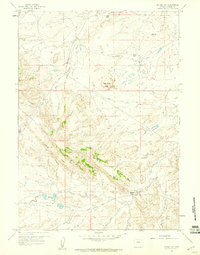
1959 Map of Mc Rae Gap
USGS Topo · Published 1960About this map
The high plains of Natrona County are defined by the winding course of the South Fork Powder River as it passes through a landscape of remote livestock operations and significant topographical landmarks. During the late 1950s, the region was sparsely settled, centered around isolated homesteads like Petty Ranch and Phillips Ranch. The terrain is marked by distinctive formations such as Wild Horse Butte and the Coalbank Hills, which rise above the surrounding drainages.
Find a feature on this map
17 named features on this map. Tap any name to fly to it.
Don’t see what you’re looking for? This feature index may not catch every label — zoom into the map to look around manually.
Map Details
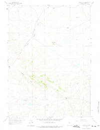
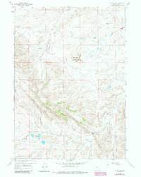
Editions of this 1959 Mc Rae Gap Map
3 editions found
Other maps of this area

1952 · Ervay Basin SW
USGS Topo · 1:24,000

1952 · Arminto SW
USGS Topo · 1:24,000

1952 · Waltman
USGS Topo · 1:24,000

1952 · Hiland
USGS Topo · 1:24,000

1952 · Ervay Basin
USGS Topo · 1:24,000

1955 · Arminto
USGS Topo · 1:250,000

1955 · Casper
USGS Topo · 1:250,000

1958 · Casper
USGS Topo · 1:250,000

1958 · Arminto
USGS Topo · 1:250,000

1959 · Broad Mesa
USGS Topo · 1:24,000